Distance to Aspenhoff, Missouri

Calculating Your Route
Just a moment while we process your request...
Location Information
-
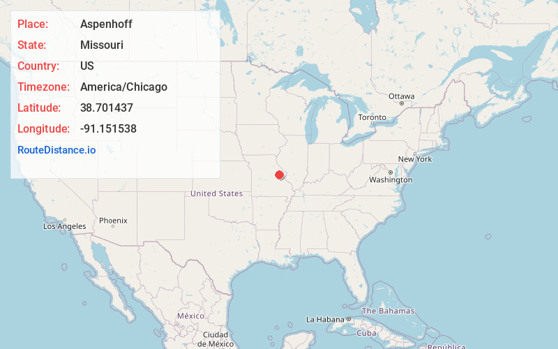
Full AddressAspenhoff, MO 63357
-
Coordinates38.7014374, -91.1515384
-
LocationAspenhoff , Missouri , US
-
TimezoneAmerica/Chicago
-
Current Local Time12:47:41 PM America/ChicagoTuesday, July 1, 2025
-
Page Views0
Nearby Places
Found 10 places within 50 miles

Treloar
4.4 mi
7.1 km
Treloar, MO 63357
Get directions

Pinckney
4.7 mi
7.6 km
Pinckney, MO 63357
Get directions
Peers
4.9 mi
7.9 km
Peers, Charrette Township, MO 63357
Get directions

Innsbrook
7.1 mi
11.4 km
Innsbrook, MO 63390
Get directions

Marthasville
7.2 mi
11.6 km
Marthasville, MO 63357
Get directions

New Haven
7.4 mi
11.9 km
New Haven, MO 63068
Get directions

Truesdale
7.7 mi
12.4 km
Truesdale, MO
Get directions
Dundee
7.8 mi
12.6 km
Dundee, Boeuf Township, MO 63090
Get directions

Warrenton
8.3 mi
13.4 km
Warrenton, MO
Get directions
Pendleton
9.8 mi
15.8 km
Pendleton, MO 63383
Get directions
Location Links
Local Weather
Weather Information
Coming soon!
Location Map
Static map view of Aspenhoff, Missouri
Browse Places by Distance
Places within specific distances from Aspenhoff
Short Distances
Long Distances
Click any distance to see all places within that range from Aspenhoff. Distances shown in miles (1 mile ≈ 1.61 kilometers).