Distance to Treloar, Missouri

Calculating Your Route
Just a moment while we process your request...
Location Information
-
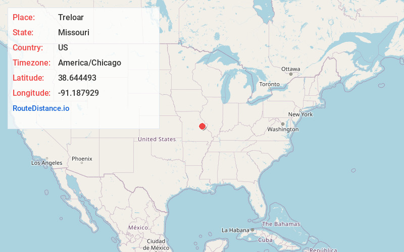
Full AddressTreloar, MO 63357
-
Coordinates38.6444932, -91.1879291
-
LocationTreloar , Missouri , US
-
TimezoneAmerica/Chicago
-
Current Local Time9:28:21 AM America/ChicagoMonday, June 23, 2025
-
Page Views0
About Treloar
Treloar is an unincorporated community in southern Warren County, Missouri, United States. It is located on the north edge of the Missouri River floodplain and Kochs Creek enters the floodplain just west of the community. Route 94 passes just south of the community and Warrenton is twelve miles to the north.


Nearby Places
Found 10 places within 50 miles

New Haven
3.0 mi
4.8 km
New Haven, MO 63068
Get directions

Marthasville
7.1 mi
11.4 km
Marthasville, MO 63357
Get directions

Berger
8.4 mi
13.5 km
Berger, MO 63014
Get directions

Washington
11.2 mi
18.0 km
Washington, MO
Get directions

Innsbrook
11.3 mi
18.2 km
Innsbrook, MO 63390
Get directions
Three Creeks
11.5 mi
18.5 km
Three Creeks, MO
Get directions

Truesdale
11.9 mi
19.2 km
Truesdale, MO
Get directions
Stony Hill
12.3 mi
19.8 km
Stony Hill, MO 65066
Get directions

Warrenton
12.5 mi
20.1 km
Warrenton, MO
Get directions
Pendleton
12.9 mi
20.8 km
Pendleton, MO 63383
Get directions
Location Links
Local Weather
Weather Information
Coming soon!
Location Map
Static map view of Treloar, Missouri
Browse Places by Distance
Places within specific distances from Treloar
Short Distances
Long Distances
Click any distance to see all places within that range from Treloar. Distances shown in miles (1 mile ≈ 1.61 kilometers).