Distance to Berger, Missouri

Calculating Your Route
Just a moment while we process your request...
Location Information
-
Full AddressBerger, MO 63014
-
Coordinates38.6742133, -91.338769
-
LocationBerger , Missouri , US
-
TimezoneAmerica/Chicago
-
Current Local Time2:46:42 AM America/ChicagoWednesday, June 18, 2025
-
Page Views0
About Berger
Berger is a city in northwest Franklin County, Missouri, United States, located south of the Missouri River. The population was 256 at the 2020 census.
Nearby Places
Found 10 places within 50 miles

Hermann
5.7 mi
9.2 km
Hermann, MO 65041
Get directions

New Haven
7.9 mi
12.7 km
New Haven, MO 63068
Get directions

Gasconade
11.9 mi
19.2 km
Gasconade, MO
Get directions

Jonesburg
12.5 mi
20.1 km
Jonesburg, MO 63351
Get directions

High Hill
14.3 mi
23.0 km
High Hill, MO 63350
Get directions

Truesdale
14.6 mi
23.5 km
Truesdale, MO
Get directions

Warrenton
14.8 mi
23.8 km
Warrenton, MO
Get directions

Marthasville
15.5 mi
24.9 km
Marthasville, MO 63357
Get directions

Innsbrook
16.8 mi
27.0 km
Innsbrook, MO 63390
Get directions

New Florence
17.3 mi
27.8 km
New Florence, MO 63363
Get directions
Location Links
Local Weather
Weather Information
Coming soon!
Location Map
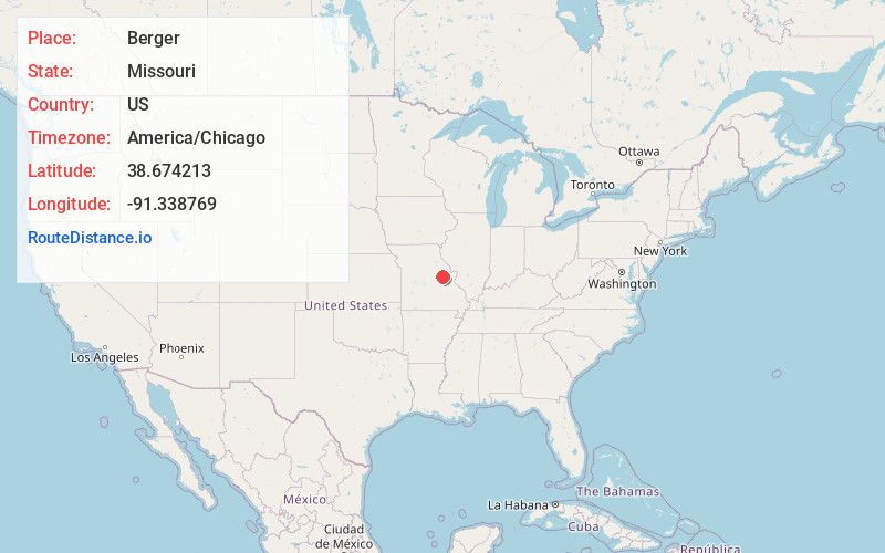
Static map view of Berger, Missouri
Browse Places by Distance
Places within specific distances from Berger
Short Distances
Long Distances
Click any distance to see all places within that range from Berger. Distances shown in miles (1 mile ≈ 1.61 kilometers).