Distance to Hermann, Missouri

Calculating Your Route
Just a moment while we process your request...
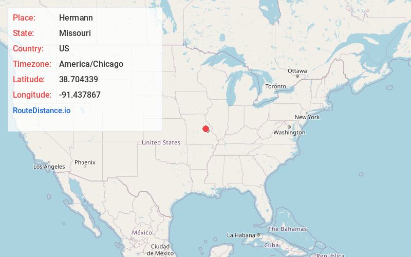
Location Information
-
Full AddressHermann, MO 65041
-
Coordinates38.7043386, -91.4378665
-
LocationHermann , Missouri , US
-
TimezoneAmerica/Chicago
-
Current Local Time12:10:01 PM America/ChicagoThursday, June 19, 2025
-
Website
-
Page Views0
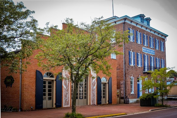
About Hermann
Hermann is a city in and the county seat of Gasconade County, Missouri, United States. It has been the county seat since 1842. It is near the center of the Missouri Rhineland and south of the Missouri River. The population was 2,185 at the 2020 census.


Nearby Places
Found 10 places within 50 miles

New Haven
13.5 mi
21.7 km
New Haven, MO 63068
Get directions

Warrenton
18.0 mi
29.0 km
Warrenton, MO
Get directions

Marthasville
21.2 mi
34.1 km
Marthasville, MO 63357
Get directions

Wright City
24.1 mi
38.8 km
Wright City, MO
Get directions

Owensville
25.0 mi
40.2 km
Owensville, MO 65066
Get directions

Washington
25.1 mi
40.4 km
Washington, MO
Get directions

Union
29.1 mi
46.8 km
Union, MO 63084
Get directions

Fulton
29.2 mi
47.0 km
Fulton, MO 65251
Get directions

Troy
31.1 mi
50.1 km
Troy, MO
Get directions

Wentzville
32.4 mi
52.1 km
Wentzville, MO
Get directions
Location Links
Local Weather
Weather Information
Coming soon!
Location Map
Static map view of Hermann, Missouri
Browse Places by Distance
Places within specific distances from Hermann
Short Distances
Long Distances
Click any distance to see all places within that range from Hermann. Distances shown in miles (1 mile ≈ 1.61 kilometers).