Distance to Union, Missouri

Calculating Your Route
Just a moment while we process your request...
Location Information
-
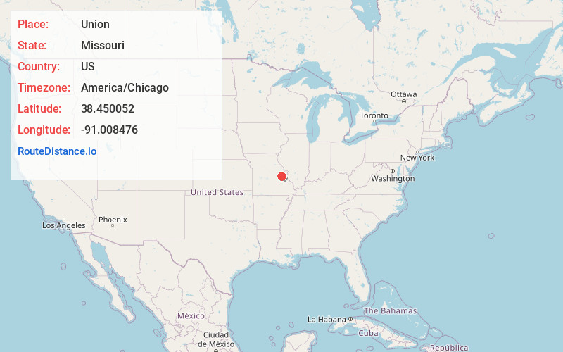
Full AddressUnion, MO 63084
-
Coordinates38.4500517, -91.0084762
-
LocationUnion , Missouri , US
-
TimezoneAmerica/Chicago
-
Current Local Time8:16:22 AM America/ChicagoMonday, June 23, 2025
-
Page Views0
About Union
Union is a city in and the county seat of Franklin County, Missouri, United States. It is located on the Bourbeuse River, 50 miles southwest of St. Louis. The population was 12,348 at the 2020 census.


Nearby Places
Found 10 places within 50 miles

Washington
7.5 mi
12.1 km
Washington, MO
Get directions

Wildwood
20.8 mi
33.5 km
Wildwood, MO
Get directions

Lake St Louis
25.8 mi
41.5 km
Lake St Louis, MO
Get directions

Wentzville
26.3 mi
42.3 km
Wentzville, MO
Get directions

Dardenne Prairie
26.8 mi
43.1 km
Dardenne Prairie, MO
Get directions

Ballwin
26.9 mi
43.3 km
Ballwin, MO
Get directions

Chesterfield
27.6 mi
44.4 km
Chesterfield, MO
Get directions

Manchester
28.8 mi
46.3 km
Manchester, MO
Get directions

O'Fallon
30.0 mi
48.3 km
O'Fallon, MO
Get directions

St Peters
31.0 mi
49.9 km
St Peters, MO
Get directions
Location Links
Local Weather
Weather Information
Coming soon!
Location Map
Static map view of Union, Missouri
Browse Places by Distance
Places within specific distances from Union
Short Distances
Long Distances
Click any distance to see all places within that range from Union. Distances shown in miles (1 mile ≈ 1.61 kilometers).