Distance to Ater, Texas

Calculating Your Route
Just a moment while we process your request...
Location Information
-
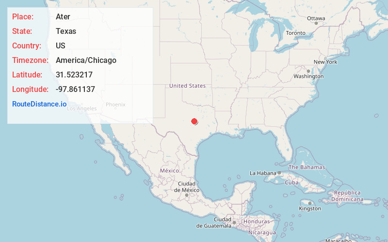
Full AddressAter, TX 76528
-
Coordinates31.5232165, -97.8611372
-
LocationAter , Texas , US
-
TimezoneAmerica/Chicago
-
Current Local Time10:29:55 AM America/ChicagoWednesday, June 4, 2025
-
Page Views0
About Ater
Ater is an unincorporated community in Coryell County, in the U.S. state of Texas. According to the Handbook of Texas, the community had a population of 25 in 2000. It is located within the Killeen-Temple-Fort Hood metropolitan area.
Nearby Places
Found 10 places within 50 miles

Coryell County
3.2 mi
5.1 km
Coryell County, TX
Get directions

Arnett
5.7 mi
9.2 km
Arnett, TX 76528
Get directions

Jonesboro
6.4 mi
10.3 km
Jonesboro, TX 76538
Get directions
Purmela
6.5 mi
10.5 km
Purmela, TX 76566
Get directions
Pancake
7.5 mi
12.1 km
Pancake, TX 76528
Get directions
South Purmela
7.5 mi
12.1 km
South Purmela, TX 76566
Get directions

Gatesville
9.2 mi
14.8 km
Gatesville, TX
Get directions

Turnersville
9.7 mi
15.6 km
Turnersville, TX 76528
Get directions
Whiteway
10.5 mi
16.9 km
Whiteway, TX 76538
Get directions
South Mountain
12.7 mi
20.4 km
South Mountain, TX 76528
Get directions
Location Links
Local Weather
Weather Information
Coming soon!
Location Map
Static map view of Ater, Texas
Browse Places by Distance
Places within specific distances from Ater
Short Distances
Long Distances
Click any distance to see all places within that range from Ater. Distances shown in miles (1 mile ≈ 1.61 kilometers).