Distance to Athelstan, Iowa

Calculating Your Route
Just a moment while we process your request...
Location Information
-
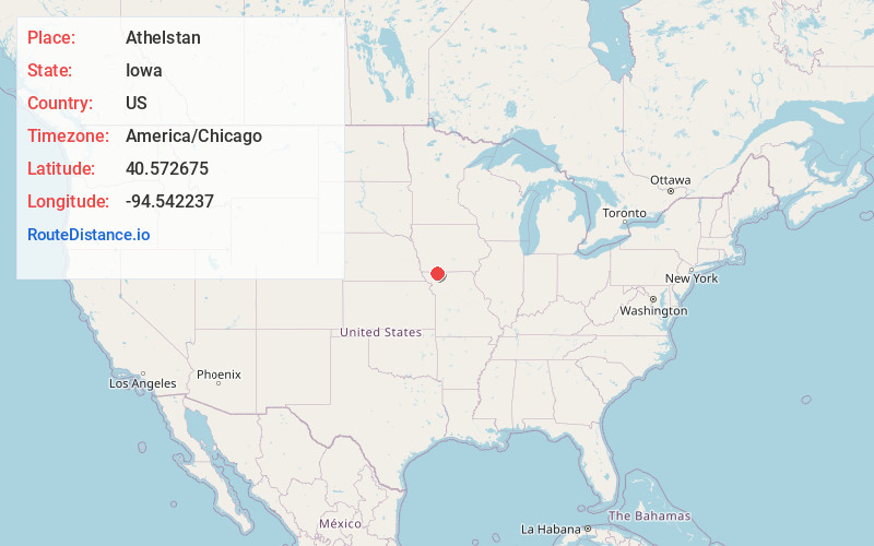
Full AddressAthelstan, IA 50836
-
Coordinates40.5726749, -94.542237
-
LocationAthelstan , Iowa , US
-
TimezoneAmerica/Chicago
-
Current Local Time9:32:27 AM America/ChicagoMonday, June 23, 2025
-
Page Views0
About Athelstan
Athelstan is a tiny hamlet in Taylor County, Iowa, United States, along the Platte River, on the border with Missouri; it is majority owned by the Young family. The population was 18 at the 2000 census.
Nearby Places
Found 10 places within 50 miles

Blockton
4.5 mi
7.2 km
Blockton, IA 50836
Get directions

Sheridan
5.3 mi
8.5 km
Sheridan, MO 64486
Get directions

Irena
8.1 mi
13.0 km
Irena, MO 64456
Get directions

Redding
8.4 mi
13.5 km
Redding, IA 50860
Get directions
Grant City
9.1 mi
14.6 km
Grant City, MO 64456
Get directions
Maloy
9.8 mi
15.8 km
Maloy, IA 50860
Get directions
Parnell
10.1 mi
16.3 km
Parnell, MO 64475
Get directions

Bedford
11.4 mi
18.3 km
Bedford, IA 50833
Get directions
Delphos
12.4 mi
20.0 km
Delphos, IA 50860
Get directions
Worth
12.7 mi
20.4 km
Worth, MO 64499
Get directions
Location Links
Local Weather
Weather Information
Coming soon!
Location Map
Static map view of Athelstan, Iowa
Browse Places by Distance
Places within specific distances from Athelstan
Short Distances
Long Distances
Click any distance to see all places within that range from Athelstan. Distances shown in miles (1 mile ≈ 1.61 kilometers).