Distance to Athol, Massachusetts

Calculating Your Route
Just a moment while we process your request...
Location Information
-
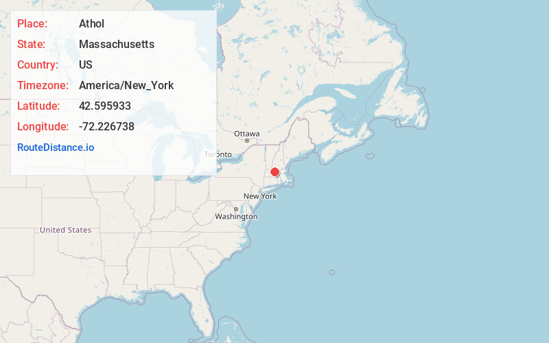
Full AddressAthol, MA
-
Coordinates42.5959329, -72.2267383
-
LocationAthol , Massachusetts , US
-
TimezoneAmerica/New_York
-
Current Local Time2:23:25 AM America/New_YorkThursday, June 19, 2025
-
Page Views0
About Athol
Athol is a town in Worcester County, Massachusetts, United States. The population was 11,945 at the 2020 census.


Nearby Places
Found 10 places within 50 miles

Gardner
11.7 mi
18.8 km
Gardner, MA
Get directions

Fitchburg
21.6 mi
34.8 km
Fitchburg, MA 01420
Get directions

Keene
23.5 mi
37.8 km
Keene, NH
Get directions

Belchertown
23.6 mi
38.0 km
Belchertown, MA 01007
Get directions

Leominster
24.3 mi
39.1 km
Leominster, MA
Get directions

Holden
25.1 mi
40.4 km
Holden, MA
Get directions

Spencer
27.0 mi
43.5 km
Spencer, MA
Get directions

Northampton
28.2 mi
45.4 km
Northampton, MA
Get directions

South Hadley
29.3 mi
47.2 km
South Hadley, MA 01075
Get directions

Clinton
30.1 mi
48.4 km
Clinton, MA
Get directions
Location Links
Local Weather
Weather Information
Coming soon!
Location Map
Static map view of Athol, Massachusetts
Browse Places by Distance
Places within specific distances from Athol
Short Distances
Long Distances
Click any distance to see all places within that range from Athol. Distances shown in miles (1 mile ≈ 1.61 kilometers).