Distance to Keene, New Hampshire

Calculating Your Route
Just a moment while we process your request...
Location Information
-
Full AddressKeene, NH
-
Coordinates42.933692, -72.2781409
-
LocationKeene , New Hampshire , US
-
TimezoneAmerica/New_York
-
Current Local Time6:35:57 AM America/New_YorkMonday, June 23, 2025
-
Website
-
Page Views0
About Keene
Keene is a city in Cheshire County, New Hampshire, United States. The population was 23,047 at the 2020 census, down from 23,409 at the 2010 census. It is the county seat and the only city in the county.
Keene is home to Keene State College and Antioch University New England.


Nearby Places
Found 10 places within 50 miles

Fitchburg
34.2 mi
55.0 km
Fitchburg, MA 01420
Get directions

Leominster
38.6 mi
62.1 km
Leominster, MA
Get directions

Merrimack
40.0 mi
64.4 km
Merrimack, NH
Get directions

Concord
41.8 mi
67.3 km
Concord, NH
Get directions

Manchester
41.9 mi
67.4 km
Manchester, NH
Get directions

Nashua
42.9 mi
69.0 km
Nashua, NH
Get directions

Hudson
44.0 mi
70.8 km
Hudson, NH 03051
Get directions

Northampton
45.9 mi
73.9 km
Northampton, MA
Get directions

Londonderry
46.8 mi
75.3 km
Londonderry, NH
Get directions

Derry
48.4 mi
77.9 km
Derry, NH 03038
Get directions
Location Links
Local Weather
Weather Information
Coming soon!
Location Map
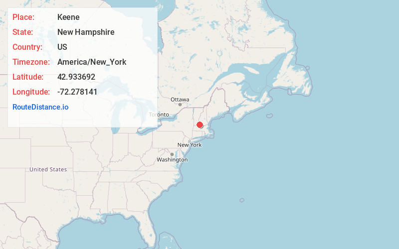
Static map view of Keene, New Hampshire
Browse Places by Distance
Places within specific distances from Keene
Short Distances
Long Distances
Click any distance to see all places within that range from Keene. Distances shown in miles (1 mile ≈ 1.61 kilometers).