Distance to Londonderry, New Hampshire

Calculating Your Route
Just a moment while we process your request...
Location Information
-
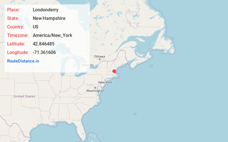
Full AddressLondonderry, NH
-
Coordinates42.8464852, -71.3616057
-
LocationLondonderry , New Hampshire , US
-
TimezoneAmerica/New_York
-
Current Local Time5:12:40 PM America/New_YorkWednesday, June 18, 2025
-
Page Views0
About Londonderry
Londonderry is a town in western Rockingham County, New Hampshire, United States. It sits between Manchester and Derry, the largest and fourth-largest communities in the state. The population was 25,826 at the 2020 census.


Nearby Places
Found 10 places within 50 miles

Derry
3.1 mi
5.0 km
Derry, NH 03038
Get directions

Merrimack
6.8 mi
10.9 km
Merrimack, NH
Get directions

Nashua
8.1 mi
13.0 km
Nashua, NH
Get directions

Salem
9.1 mi
14.6 km
Salem, NH 03079
Get directions

Manchester
11.3 mi
18.2 km
Manchester, NH
Get directions

Methuen
12.0 mi
19.3 km
Methuen, MA 01844
Get directions

Dracut
12.6 mi
20.3 km
Dracut, MA 01826
Get directions

Lawrence
13.9 mi
22.4 km
Lawrence, MA
Get directions

Lowell
14.1 mi
22.7 km
Lowell, MA
Get directions

Haverhill
15.2 mi
24.5 km
Haverhill, MA
Get directions
Location Links
Local Weather
Weather Information
Coming soon!
Location Map
Static map view of Londonderry, New Hampshire
Browse Places by Distance
Places within specific distances from Londonderry
Short Distances
Long Distances
Click any distance to see all places within that range from Londonderry. Distances shown in miles (1 mile ≈ 1.61 kilometers).