Distance to Dracut, Massachusetts

Calculating Your Route
Just a moment while we process your request...
Location Information
-
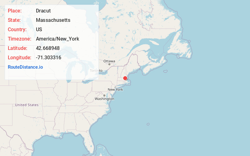
Full AddressDracut, MA 01826
-
Coordinates42.6689477, -71.3033164
-
LocationDracut , Massachusetts , US
-
TimezoneAmerica/New_York
-
Current Local Time7:21:56 PM America/New_YorkSaturday, June 14, 2025
-
Page Views0
About Dracut
Dracut is a town in Middlesex County, Massachusetts, United States. At the 2020 census, the town's population was 32,617, making it the second most populous town in Massachusetts with an open town meeting system of governance. The town covers a total area of 21.36 square miles, 0.5 square miles of which are water.


Nearby Places
Found 10 places within 50 miles

Lowell
1.7 mi
2.7 km
Lowell, MA
Get directions

Tewksbury
5.3 mi
8.5 km
Tewksbury, MA
Get directions

Chelmsford
5.5 mi
8.9 km
Chelmsford, MA
Get directions

Methuen
6.9 mi
11.1 km
Methuen, MA 01844
Get directions

Lawrence
7.6 mi
12.2 km
Lawrence, MA
Get directions

Billerica
7.8 mi
12.6 km
Billerica, MA
Get directions

Andover
8.1 mi
13.0 km
Andover, MA
Get directions

North Andover
8.8 mi
14.2 km
North Andover, MA 01845
Get directions

Nashua
10.3 mi
16.6 km
Nashua, NH
Get directions

Haverhill
13.7 mi
22.0 km
Haverhill, MA
Get directions
Location Links
Local Weather
Weather Information
Coming soon!
Location Map
Static map view of Dracut, Massachusetts
Browse Places by Distance
Places within specific distances from Dracut
Short Distances
Long Distances
Click any distance to see all places within that range from Dracut. Distances shown in miles (1 mile ≈ 1.61 kilometers).