Distance to Atkins, Wisconsin

Calculating Your Route
Just a moment while we process your request...
Location Information
-
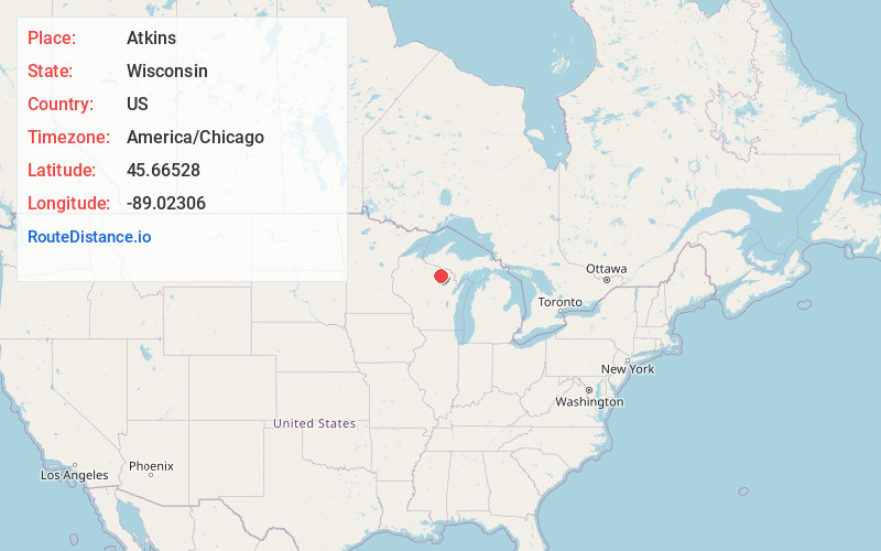
Full AddressAtkins, WI 54511
-
Coordinates45.66528, -89.02306
-
LocationAtkins , Wisconsin , US
-
TimezoneAmerica/Chicago
-
Current Local Time2:24:38 PM America/ChicagoFriday, June 13, 2025
-
Page Views0
About Atkins
Atkins is an unincorporated community in the town of Hiles, Forest County, Wisconsin, United States. Atkins is located on the Canadian National Railway 8.5 miles northwest of Crandon. The community was likely named for Hubbard C. Atkins, the superintendent of the Prairie du Chien & La Crosse railroad in the 1880s.
Nearby Places
Found 10 places within 50 miles

Hiles
3.5 mi
5.6 km
Hiles, WI 54511
Get directions
Gagen
5.6 mi
9.0 km
Gagen, WI 54501
Get directions
Argonne
7.0 mi
11.3 km
Argonne, WI 54511
Get directions

Crandon
8.7 mi
14.0 km
Crandon, WI 54520
Get directions

Monico
8.9 mi
14.3 km
Monico, WI 54501
Get directions
Starks
9.6 mi
15.4 km
Starks, WI 54501
Get directions
Jennings
11.2 mi
18.0 km
Jennings, WI 54463
Get directions

Three Lakes
11.4 mi
18.3 km
Three Lakes, WI 54562
Get directions

Mole Lake
13.0 mi
20.9 km
Mole Lake, WI 54520
Get directions

Pelican Lake
13.4 mi
21.6 km
Pelican Lake, WI 54463
Get directions
Location Links
Local Weather
Weather Information
Coming soon!
Location Map
Static map view of Atkins, Wisconsin
Browse Places by Distance
Places within specific distances from Atkins
Short Distances
Long Distances
Click any distance to see all places within that range from Atkins. Distances shown in miles (1 mile ≈ 1.61 kilometers).