Distance to Atlee, Virginia

Calculating Your Route
Just a moment while we process your request...
Location Information
-
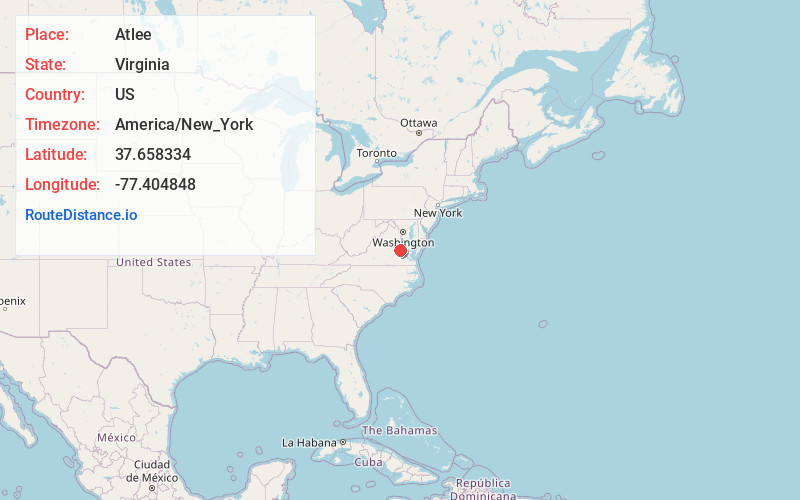
Full AddressAtlee, VA 23116
-
Coordinates37.6583336, -77.4048478
-
LocationAtlee , Virginia , US
-
TimezoneAmerica/New_York
-
Current Local Time2:05:08 AM America/New_YorkFriday, June 20, 2025
-
Page Views0
About Atlee
Atlee or Atlee Station is an unincorporated community in central Hanover County in the Mid-Atlantic state of Virginia, United States.
Nearby Places
Found 10 places within 50 miles

Henry Clay Heights
1.4 mi
2.3 km
Henry Clay Heights, VA 23116
Get directions
Patrick Henry Heights
2.1 mi
3.4 km
Patrick Henry Heights, VA 23116
Get directions
Burnside Farms
2.3 mi
3.7 km
Burnside Farms, Mechanicsville, VA 23116
Get directions
Chamberlayne
2.6 mi
4.2 km
Chamberlayne, VA
Get directions
Solomons Store
3.3 mi
5.3 km
Solomons Store, Glen Allen, VA 23060
Get directions
Biltmore
3.5 mi
5.6 km
Biltmore, VA 23060
Get directions
St Josephs Villa
3.6 mi
5.8 km
St Josephs Villa, VA 23228
Get directions
Stonewall Manor
3.8 mi
6.1 km
Stonewall Manor, VA 23228
Get directions

Mechanicsville
3.8 mi
6.1 km
Mechanicsville, VA
Get directions
Spring Meadows
4.3 mi
6.9 km
Spring Meadows, Mechanicsville, VA 23111
Get directions
Location Links
Local Weather
Weather Information
Coming soon!
Location Map
Static map view of Atlee, Virginia
Browse Places by Distance
Places within specific distances from Atlee
Short Distances
Long Distances
Click any distance to see all places within that range from Atlee. Distances shown in miles (1 mile ≈ 1.61 kilometers).