Distance to Chamberlayne, Virginia

Calculating Your Route
Just a moment while we process your request...
Location Information
-
Full AddressChamberlayne, VA
-
Coordinates37.6265339, -77.4285936
-
LocationChamberlayne , Virginia , US
-
TimezoneAmerica/New_York
-
Current Local Time5:04:02 PM America/New_YorkTuesday, June 24, 2025
-
Page Views0
About Chamberlayne
Chamberlayne is a census-designated place in Henrico County, Virginia, United States. The population was 5,581 at the 2020 census.
Nearby Places
Found 10 places within 50 miles

Lakeside
2.9 mi
4.7 km
Lakeside, VA
Get directions

Mechanicsville
3.3 mi
5.3 km
Mechanicsville, VA
Get directions

Laurel
4.5 mi
7.2 km
Laurel, VA
Get directions
Dumbarton
4.6 mi
7.4 km
Dumbarton, VA
Get directions

Glen Allen
5.1 mi
8.2 km
Glen Allen, VA
Get directions

Richmond
5.9 mi
9.5 km
Richmond, VA
Get directions
Tuckahoe
7.4 mi
11.9 km
Tuckahoe, VA
Get directions
Montrose
7.8 mi
12.6 km
Montrose, VA
Get directions

Highland Springs
7.8 mi
12.6 km
Highland Springs, VA
Get directions

Innsbrook
8.3 mi
13.4 km
Innsbrook, VA
Get directions
Location Links
Local Weather
Weather Information
Coming soon!
Location Map
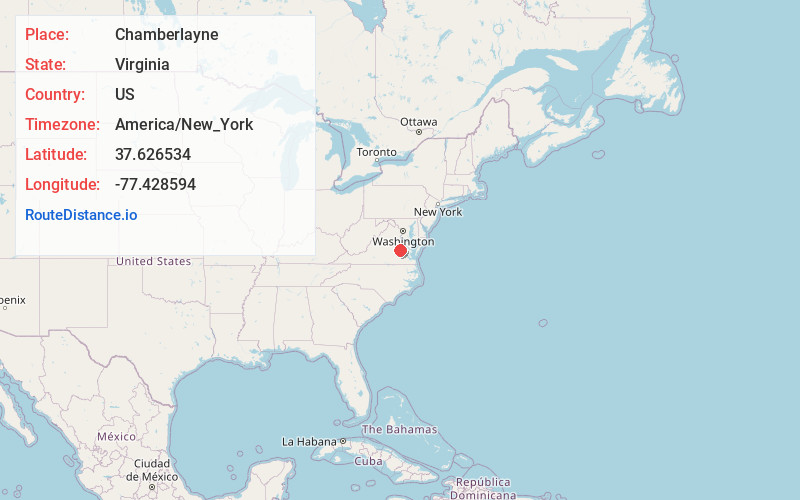
Static map view of Chamberlayne, Virginia
Browse Places by Distance
Places within specific distances from Chamberlayne
Short Distances
Long Distances
Click any distance to see all places within that range from Chamberlayne. Distances shown in miles (1 mile ≈ 1.61 kilometers).