Distance to Attapulgus, Georgia

Calculating Your Route
Just a moment while we process your request...
Location Information
-
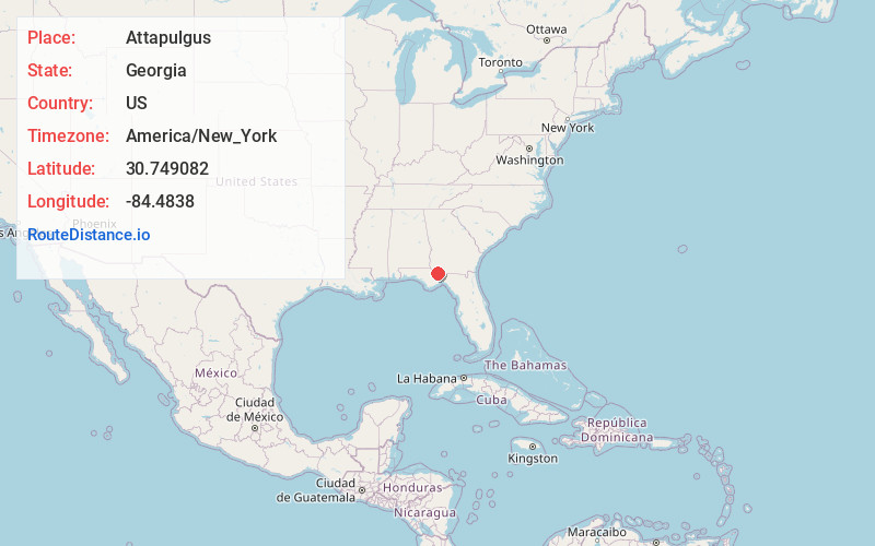
Full AddressAttapulgus, GA 39815
-
Coordinates30.7490815, -84.4837998
-
LocationAttapulgus , Georgia , US
-
TimezoneAmerica/New_York
-
Current Local Time3:56:36 AM America/New_YorkWednesday, June 18, 2025
-
Page Views0
About Attapulgus
Attapulgus is a city in Decatur County, Georgia, United States. As of the 2020 census, the city had a population of 454, up from 449 at the 2010 census. It is part of the Bainbridge, Georgia Micropolitan Statistical Area.
Nearby Places
Found 10 places within 50 miles

Havana
9.6 mi
15.4 km
Havana, FL 32333
Get directions

Bainbridge
12.0 mi
19.3 km
Bainbridge, GA
Get directions

Quincy
12.8 mi
20.6 km
Quincy, FL
Get directions

Gretna
14.0 mi
22.5 km
Gretna, FL
Get directions

Midway
17.7 mi
28.5 km
Midway, FL
Get directions

Cairo
19.0 mi
30.6 km
Cairo, GA
Get directions

Greensboro
19.8 mi
31.9 km
Greensboro, FL
Get directions

Bradfordville
20.5 mi
33.0 km
Bradfordville, FL
Get directions

Chattahoochee
21.5 mi
34.6 km
Chattahoochee, FL 32324
Get directions
Fort Braden
22.8 mi
36.7 km
Fort Braden, FL
Get directions
Location Links
Local Weather
Weather Information
Coming soon!
Location Map
Static map view of Attapulgus, Georgia
Browse Places by Distance
Places within specific distances from Attapulgus
Short Distances
Long Distances
Click any distance to see all places within that range from Attapulgus. Distances shown in miles (1 mile ≈ 1.61 kilometers).