Distance to Auburn, West Virginia

Calculating Your Route
Just a moment while we process your request...
Location Information
-
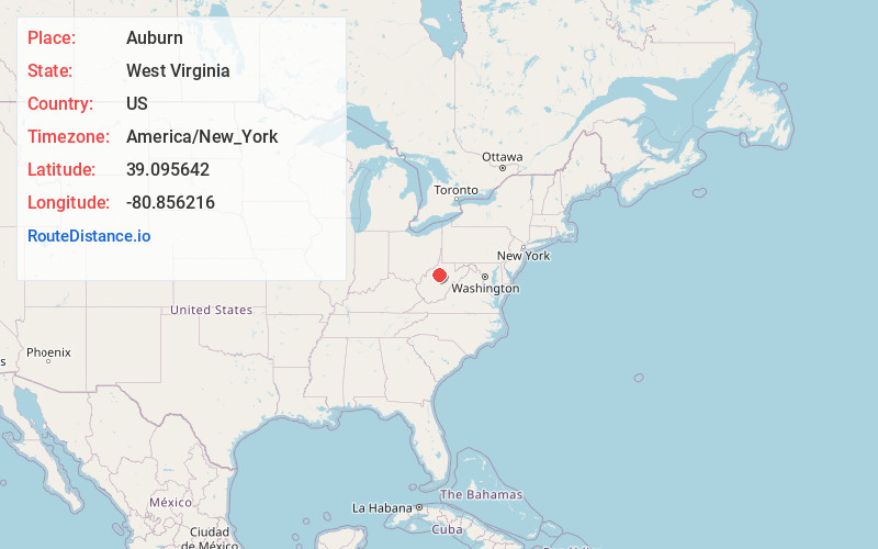
Full AddressAuburn, WV 26325
-
Coordinates39.0956418, -80.8562162
-
LocationAuburn , West Virginia , US
-
TimezoneAmerica/New_York
-
Current Local Time8:03:23 PM America/New_YorkTuesday, June 3, 2025
-
Page Views0
About Auburn
Auburn is a town in Ritchie County, West Virginia, United States. The population was 80 at the 2020 census. Auburn was incorporated in 1900.
Nearby Places
Found 10 places within 50 miles

Pullman
8.1 mi
13.0 km
Pullman, WV 26421
Get directions

Glenville
11.2 mi
18.0 km
Glenville, WV 26351
Get directions

Harrisville
13.1 mi
21.1 km
Harrisville, WV 26362
Get directions
Sand Fork
13.8 mi
22.2 km
Sand Fork, WV
Get directions

Pennsboro
14.4 mi
23.2 km
Pennsboro, WV 26415
Get directions

West Union
14.5 mi
23.3 km
West Union, WV 26456
Get directions
Ellenboro
15.8 mi
25.4 km
Ellenboro, WV 26346
Get directions
Grantsville
17.5 mi
28.2 km
Grantsville, WV 26147
Get directions

Cairo
17.9 mi
28.8 km
Cairo, WV 26337
Get directions

Burnsville
19.8 mi
31.9 km
Burnsville, WV
Get directions
Location Links
Local Weather
Weather Information
Coming soon!
Location Map
Static map view of Auburn, West Virginia
Browse Places by Distance
Places within specific distances from Auburn
Short Distances
Long Distances
Click any distance to see all places within that range from Auburn. Distances shown in miles (1 mile ≈ 1.61 kilometers).