Distance to Auburn, Michigan

Calculating Your Route
Just a moment while we process your request...
Location Information
-
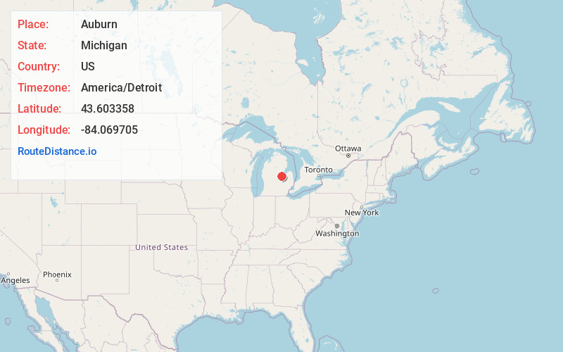
Full AddressAuburn, MI 48611
-
Coordinates43.6033582, -84.0697048
-
LocationAuburn , Michigan , US
-
TimezoneAmerica/Detroit
-
Current Local Time7:35:31 PM America/DetroitFriday, June 20, 2025
-
Page Views0
About Auburn
Auburn is a city in Bay County, Michigan, United States. The city's population was 2,068 at the 2020 Census. It is included in the Saginaw, Midland, and Bay City metropolitan area.


Nearby Places
Found 10 places within 50 miles

Freeland
6.0 mi
9.7 km
Freeland, MI 48623
Get directions

Midland
8.9 mi
14.3 km
Midland, MI
Get directions

Bay City
9.1 mi
14.6 km
Bay City, MI
Get directions

Essexville
11.4 mi
18.3 km
Essexville, MI 48732
Get directions

Shields
12.9 mi
20.8 km
Shields, MI 48609
Get directions

Saginaw
14.1 mi
22.7 km
Saginaw, MI
Get directions

Buena Vista
15.7 mi
25.3 km
Buena Vista, MI 48601
Get directions

Bridgeport
19.4 mi
31.2 km
Bridgeport, MI
Get directions

St Charles
21.3 mi
34.3 km
St Charles, MI 48655
Get directions

Frankenmuth
25.1 mi
40.4 km
Frankenmuth, MI
Get directions
Location Links
Local Weather
Weather Information
Coming soon!
Location Map
Static map view of Auburn, Michigan
Browse Places by Distance
Places within specific distances from Auburn
Short Distances
Long Distances
Click any distance to see all places within that range from Auburn. Distances shown in miles (1 mile ≈ 1.61 kilometers).