Distance to Shields, Michigan

Calculating Your Route
Just a moment while we process your request...
Location Information
-
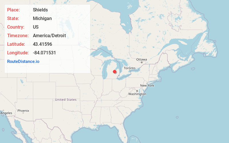
Full AddressShields, MI 48609
-
Coordinates43.4159598, -84.0715307
-
LocationShields , Michigan , US
-
TimezoneAmerica/Detroit
-
Current Local Time7:54:08 AM America/DetroitFriday, June 20, 2025
-
Page Views0
About Shields
Shields is an unincorporated community in Thomas Township, Saginaw County in the U.S. state of Michigan. It is also a census-designated place for statistical purposes, but with no legal status as an incorporated municipality. The population of the CDP was 7,035 at the 2020 census.


Nearby Places
Found 10 places within 50 miles

Saginaw
6.2 mi
10.0 km
Saginaw, MI
Get directions

Bay City
15.4 mi
24.8 km
Bay City, MI
Get directions

Midland
16.4 mi
26.4 km
Midland, MI
Get directions

Flushing
26.8 mi
43.1 km
Flushing, MI 48433
Get directions

Owosso
29.4 mi
47.3 km
Owosso, MI 48867
Get directions

Beecher
29.5 mi
47.5 km
Beecher, MI
Get directions

Alma
29.7 mi
47.8 km
Alma, MI 48801
Get directions

Flint
33.9 mi
54.6 km
Flint, MI
Get directions

Burton
36.8 mi
59.2 km
Burton, MI
Get directions

Mt Pleasant
37.1 mi
59.7 km
Mt Pleasant, MI 48858
Get directions
Location Links
Local Weather
Weather Information
Coming soon!
Location Map
Static map view of Shields, Michigan
Browse Places by Distance
Places within specific distances from Shields
Short Distances
Long Distances
Click any distance to see all places within that range from Shields. Distances shown in miles (1 mile ≈ 1.61 kilometers).