Distance to Owosso, Michigan

Calculating Your Route
Just a moment while we process your request...
Location Information
-
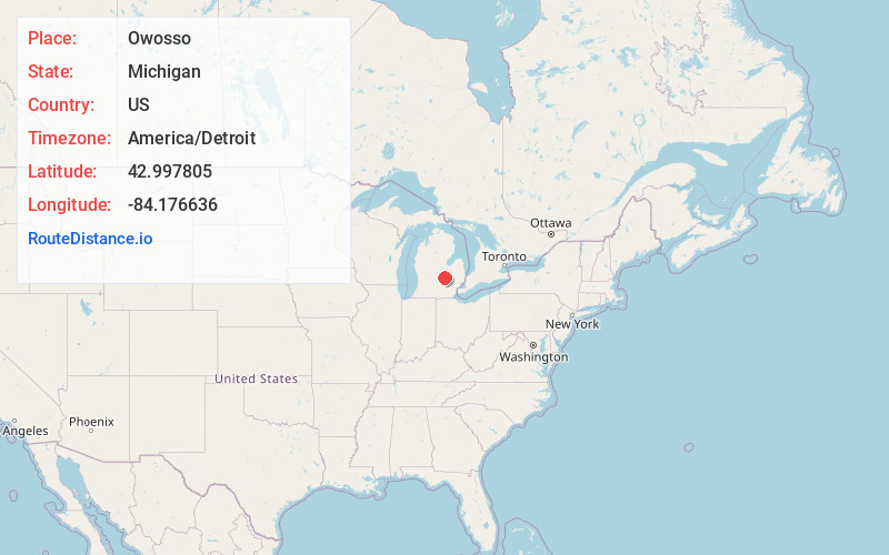
Full AddressOwosso, MI 48867
-
Coordinates42.9978049, -84.1766358
-
LocationOwosso , Michigan , US
-
TimezoneAmerica/Detroit
-
Current Local Time2:33:24 AM America/DetroitWednesday, June 18, 2025
-
Page Views0
About Owosso
Owosso is the largest city in Shiawassee County in the U.S. state of Michigan. The population was 14,714 at the 2020 census. It is located 29 miles west of Flint, and 32 miles northeast of Lansing. The city is mostly surrounded by Owosso Township on its west, but the two are administered autonomously.


Nearby Places
Found 10 places within 50 miles

Haslett
20.9 mi
33.6 km
Haslett, MI
Get directions

Okemos
22.9 mi
36.9 km
Okemos, MI
Get directions

East Lansing
23.8 mi
38.3 km
East Lansing, MI
Get directions

Flint
24.7 mi
39.8 km
Flint, MI
Get directions

Lansing
26.4 mi
42.5 km
Lansing, MI
Get directions

Burton
28.3 mi
45.5 km
Burton, MI
Get directions

Waverly
28.7 mi
46.2 km
Waverly, MI 48917
Get directions

Holt
30.1 mi
48.4 km
Holt, MI
Get directions

Saginaw
31.3 mi
50.4 km
Saginaw, MI
Get directions

Midland
42.8 mi
68.9 km
Midland, MI
Get directions
Location Links
Local Weather
Weather Information
Coming soon!
Location Map
Static map view of Owosso, Michigan
Browse Places by Distance
Places within specific distances from Owosso
Short Distances
Long Distances
Click any distance to see all places within that range from Owosso. Distances shown in miles (1 mile ≈ 1.61 kilometers).