Distance to Flushing, Michigan

Calculating Your Route
Just a moment while we process your request...
Location Information
-
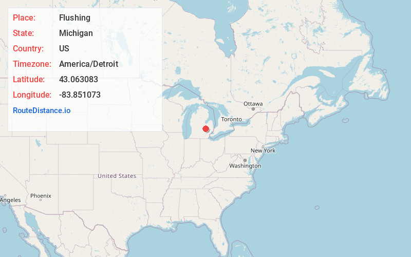
Full AddressFlushing, MI 48433
-
Coordinates43.0630833, -83.8510732
-
LocationFlushing , Michigan , US
-
TimezoneAmerica/Detroit
-
Current Local Time1:53:52 PM America/DetroitSaturday, June 7, 2025
-
Website
-
Page Views0
About Flushing
Flushing is a city in Genesee County, Michigan, United States. The population was 8,411 at the 2020 census. Flushing is considered a suburb of Flint. It is situated within the survey area of Flushing Charter Township, but is administratively autonomous.
Flushing originated as a mill town in the mid-1830s.


Nearby Places
Found 10 places within 50 miles

Beecher
8.1 mi
13.0 km
Beecher, MI
Get directions

Flint
9.0 mi
14.5 km
Flint, MI
Get directions

Burton
12.6 mi
20.3 km
Burton, MI
Get directions

Grand Blanc
14.6 mi
23.5 km
Grand Blanc, MI 48439
Get directions

Owosso
17.1 mi
27.5 km
Owosso, MI 48867
Get directions

Fenton
19.8 mi
31.9 km
Fenton, MI
Get directions

Saginaw
25.1 mi
40.4 km
Saginaw, MI
Get directions

Lapeer
26.9 mi
43.3 km
Lapeer, MI 48446
Get directions

Howell
31.7 mi
51.0 km
Howell, MI
Get directions

Haslett
35.7 mi
57.5 km
Haslett, MI
Get directions
Location Links
Local Weather
Weather Information
Coming soon!
Location Map
Static map view of Flushing, Michigan
Browse Places by Distance
Places within specific distances from Flushing
Short Distances
Long Distances
Click any distance to see all places within that range from Flushing. Distances shown in miles (1 mile ≈ 1.61 kilometers).