Distance to Lapeer, Michigan

Calculating Your Route
Just a moment while we process your request...
Location Information
-
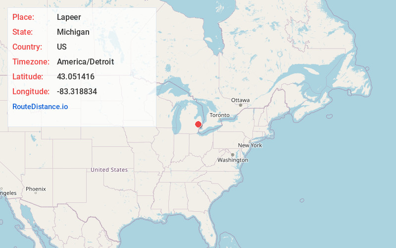
Full AddressLapeer, MI 48446
-
Coordinates43.0514161, -83.3188341
-
LocationLapeer , Michigan , US
-
TimezoneAmerica/Detroit
-
Current Local Time4:46:48 PM America/DetroitTuesday, July 1, 2025
-
Page Views0
About Lapeer
Lapeer is a city in the U.S. state of Michigan and is the county seat of Lapeer County. As of the 2020 census, the city population was 9,023. Most of the city was incorporated from land that was formerly in Lapeer Township, though portions were also annexed from Mayfield Township and Elba Township.


Nearby Places
Found 10 places within 50 miles

Burton
15.5 mi
24.9 km
Burton, MI
Get directions

Flint
18.8 mi
30.3 km
Flint, MI
Get directions

Auburn Hills
25.5 mi
41.0 km
Auburn Hills, MI
Get directions

Fenton
26.2 mi
42.2 km
Fenton, MI
Get directions

Rochester Hills
28.5 mi
45.9 km
Rochester Hills, MI
Get directions

Pontiac
28.5 mi
45.9 km
Pontiac, MI
Get directions

Troy
31.9 mi
51.3 km
Troy, MI
Get directions

Birmingham
35.3 mi
56.8 km
Birmingham, MI
Get directions

Sterling Heights
35.7 mi
57.5 km
Sterling Heights, MI
Get directions

Clawson
36.8 mi
59.2 km
Clawson, MI
Get directions
Location Links
Local Weather
Weather Information
Coming soon!
Location Map
Static map view of Lapeer, Michigan
Browse Places by Distance
Places within specific distances from Lapeer
Short Distances
Long Distances
Click any distance to see all places within that range from Lapeer. Distances shown in miles (1 mile ≈ 1.61 kilometers).