Distance to Beecher, Michigan

Calculating Your Route
Just a moment while we process your request...
Location Information
-
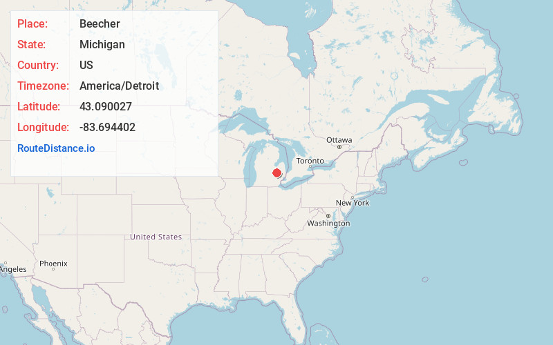
Full AddressBeecher, MI
-
Coordinates43.0900266, -83.6944022
-
LocationBeecher , Michigan , US
-
TimezoneAmerica/Detroit
-
Current Local Time5:30:57 PM America/DetroitSaturday, May 31, 2025
-
Page Views0
About Beecher
Beecher is a census-designated place in Genesee County in the U.S. state of Michigan. It was first listed as a CDP in 2000. Per the 2020 census, the population was 8,840.
The CDP area is situated on the east side of Mount Morris Township where Interstate 475 turns westward between the cities of Flint and Mount Morris.
Nearby Places
Found 10 places within 50 miles

Flint
5.4 mi
8.7 km
Flint, MI
Get directions

Burton
7.4 mi
11.9 km
Burton, MI
Get directions

Lapeer
19.1 mi
30.7 km
Lapeer, MI 48446
Get directions

Fenton
20.2 mi
32.5 km
Fenton, MI
Get directions

Owosso
25.2 mi
40.6 km
Owosso, MI 48867
Get directions

Saginaw
26.1 mi
42.0 km
Saginaw, MI
Get directions

Howell
35.4 mi
57.0 km
Howell, MI
Get directions

Bay City
36.2 mi
58.3 km
Bay City, MI
Get directions

Auburn Hills
36.3 mi
58.4 km
Auburn Hills, MI
Get directions

Pontiac
37.3 mi
60.0 km
Pontiac, MI
Get directions
Location Links
Local Weather
Weather Information
Coming soon!
Location Map
Static map view of Beecher, Michigan
Browse Places by Distance
Places within specific distances from Beecher
Short Distances
Long Distances
Click any distance to see all places within that range from Beecher. Distances shown in miles (1 mile ≈ 1.61 kilometers).