Distance to Auburn, Nebraska

Calculating Your Route
Just a moment while we process your request...
Location Information
-
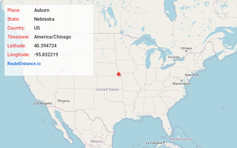
Full AddressAuburn, NE 68305
-
Coordinates40.3947236, -95.8322191
-
LocationAuburn , Nebraska , US
-
TimezoneAmerica/Chicago
-
Current Local Time3:48:49 PM America/ChicagoSaturday, May 31, 2025
-
Page Views0
About Auburn
Auburn is a city in Nemaha County, Nebraska, United States, and its county seat. The population was 3,470 at the 2020 census.


Nearby Places
Found 7 places within 50 miles

Nebraska City
19.5 mi
31.4 km
Nebraska City, NE 68410
Get directions

Falls City
26.1 mi
42.0 km
Falls City, NE 68355
Get directions

Shenandoah
35.1 mi
56.5 km
Shenandoah, IA 51601
Get directions

Plattsmouth
42.7 mi
68.7 km
Plattsmouth, NE 68048
Get directions

Glenwood
45.3 mi
72.9 km
Glenwood, IA 51534
Get directions

Clarinda
48.1 mi
77.4 km
Clarinda, IA 51632
Get directions

Beatrice
49.0 mi
78.9 km
Beatrice, NE 68310
Get directions
Location Links
Local Weather
Weather Information
Coming soon!
Location Map
Static map view of Auburn, Nebraska
Browse Places by Distance
Places within specific distances from Auburn
Short Distances
Long Distances
Click any distance to see all places within that range from Auburn. Distances shown in miles (1 mile ≈ 1.61 kilometers).