Distance to Augusta, Michigan

Calculating Your Route
Just a moment while we process your request...
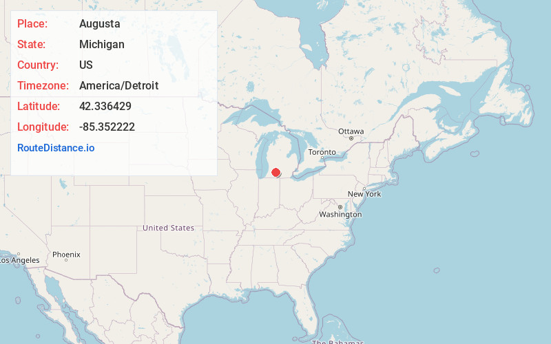
Location Information
-
Full AddressAugusta, MI 49012
-
Coordinates42.3364294, -85.3522219
-
LocationAugusta , Michigan , US
-
TimezoneAmerica/Detroit
-
Current Local Time1:57:47 AM America/DetroitFriday, June 20, 2025
-
Page Views2
About Augusta
Augusta is a village in Kalamazoo County in the U.S. state of Michigan. The population was 885 at the 2010 census. The village is mostly within Ross Township, though a small portion extends south into Charleston Township.


Nearby Places
Found 10 places within 50 miles

Galesburg
4.7 mi
7.6 km
Galesburg, MI 49053
Get directions

Oak Park
5.1 mi
8.2 km
Oak Park, Level Park-Oak Park, MI 49037
Get directions

Springfield
5.8 mi
9.3 km
Springfield, MI
Get directions
Comstock Northwest
8.5 mi
13.7 km
Comstock Northwest, MI
Get directions

Battle Creek
8.9 mi
14.3 km
Battle Creek, MI
Get directions
Eastwood
10.4 mi
16.7 km
Eastwood, MI 49048
Get directions
Brownlee Park
10.8 mi
17.4 km
Brownlee Park, MI
Get directions

Parchment
11.1 mi
17.9 km
Parchment, MI 49004
Get directions

Kalamazoo
12.4 mi
20.0 km
Kalamazoo, MI
Get directions

Westwood
14.4 mi
23.2 km
Westwood, MI 49006
Get directions
Location Links
Local Weather
Weather Information
Coming soon!
Location Map
Static map view of Augusta, Michigan
Browse Places by Distance
Places within specific distances from Augusta
Short Distances
Long Distances
Click any distance to see all places within that range from Augusta. Distances shown in miles (1 mile ≈ 1.61 kilometers).