Distance to Brownlee Park, Michigan

Calculating Your Route
Just a moment while we process your request...
Location Information
-
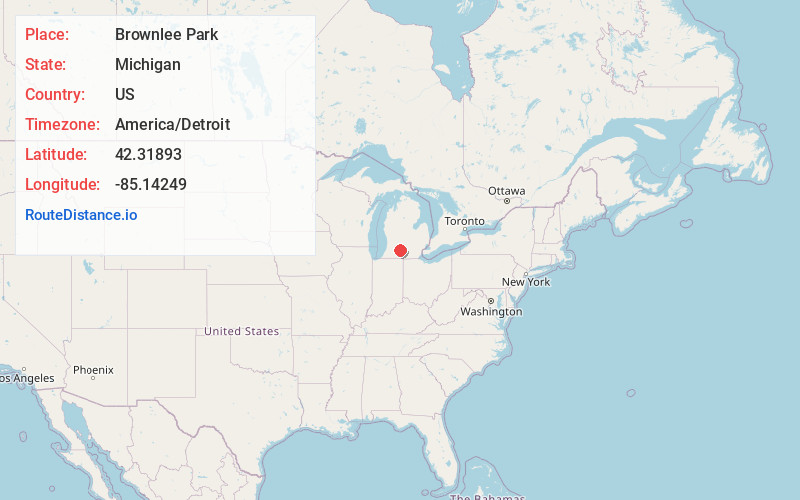
Full AddressBrownlee Park, MI
-
Coordinates42.31893, -85.1424904
-
LocationBrownlee Park , Michigan , US
-
TimezoneAmerica/Detroit
-
Current Local Time2:04:04 AM America/DetroitThursday, June 19, 2025
-
Page Views0
About Brownlee Park
Brownlee Park is a census-designated place in Calhoun County in the U.S. state of Michigan.The population was 2,021 at the 2020 census. The CDP is immediately east of the city of Battle Creek and is part of the Battle Creek Metropolitan Statistical Area.
Nearby Places
Found 10 places within 50 miles

Battle Creek
1.9 mi
3.1 km
Battle Creek, MI
Get directions

Springfield
5.0 mi
8.0 km
Springfield, MI
Get directions

Oak Park
6.4 mi
10.3 km
Oak Park, Level Park-Oak Park, MI 49037
Get directions

Marshall
9.7 mi
15.6 km
Marshall, MI 49068
Get directions

Galesburg
14.2 mi
22.9 km
Galesburg, MI 49053
Get directions
Comstock Northwest
19.1 mi
30.7 km
Comstock Northwest, MI
Get directions

Albion
20.6 mi
33.2 km
Albion, MI 49224
Get directions
Eastwood
20.9 mi
33.6 km
Eastwood, MI 49048
Get directions

Parchment
21.8 mi
35.1 km
Parchment, MI 49004
Get directions

Kalamazoo
22.7 mi
36.5 km
Kalamazoo, MI
Get directions
Location Links
Local Weather
Weather Information
Coming soon!
Location Map
Static map view of Brownlee Park, Michigan
Browse Places by Distance
Places within specific distances from Brownlee Park
Short Distances
Long Distances
Click any distance to see all places within that range from Brownlee Park. Distances shown in miles (1 mile ≈ 1.61 kilometers).