Distance to Augusta, Arkansas

Calculating Your Route
Just a moment while we process your request...
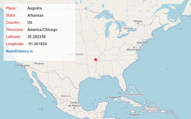
Location Information
-
Full AddressAugusta, AR 72006
-
Coordinates35.2823375, -91.3618239
-
LocationAugusta , Arkansas , US
-
TimezoneAmerica/Chicago
-
Current Local Time2:34:19 PM America/ChicagoMonday, June 16, 2025
-
Page Views0
About Augusta
Augusta, officially the City of Augusta, is a city in Woodruff County, Arkansas, United States, located on the east bank of the White River. The population was 1,998 as of the 2020 Census. The city is the county seat of Woodruff County.


Nearby Places
Found 10 places within 50 miles

Bald Knob
11.9 mi
19.2 km
Bald Knob, AR 72010
Get directions

Judsonia
15.5 mi
24.9 km
Judsonia, AR 72081
Get directions

Kensett
17.6 mi
28.3 km
Kensett, AR
Get directions

Searcy
21.3 mi
34.3 km
Searcy, AR
Get directions

Newport
23.0 mi
37.0 km
Newport, AR 72112
Get directions

Brinkley
28.9 mi
46.5 km
Brinkley, AR 72021
Get directions
Southside
32.2 mi
51.8 km
Southside, AR 72501
Get directions

Wynne
32.7 mi
52.6 km
Wynne, AR 72396
Get directions

Beebe
32.7 mi
52.6 km
Beebe, AR 72012
Get directions

Batesville
37.2 mi
59.9 km
Batesville, AR 72501
Get directions
Location Links
Local Weather
Weather Information
Coming soon!
Location Map
Static map view of Augusta, Arkansas
Browse Places by Distance
Places within specific distances from Augusta
Short Distances
Long Distances
Click any distance to see all places within that range from Augusta. Distances shown in miles (1 mile ≈ 1.61 kilometers).