Distance to Augusta, Ohio

Calculating Your Route
Just a moment while we process your request...
Location Information
-
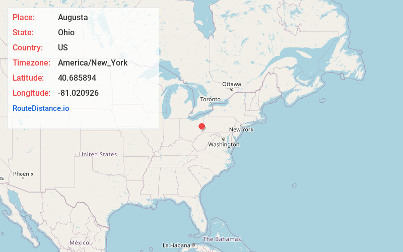
Full AddressAugusta, OH 44651
-
Coordinates40.6858935, -81.0209263
-
LocationAugusta , Ohio , US
-
TimezoneAmerica/New_York
-
Current Local Time4:01:05 AM America/New_YorkFriday, June 20, 2025
-
Page Views0
About Augusta
Augusta is an unincorporated community in eastern Augusta Township, Carroll County, Ohio, United States. It has a post office with the ZIP code 44607. It lies along State Route 9. The community is part of the Canton–Massillon Metropolitan Statistical Area.


Nearby Places
Found 10 places within 50 miles

Pattersonville
1.6 mi
2.6 km
Pattersonville, OH 44615
Get directions
Watheys
2.4 mi
3.9 km
Watheys, Augusta Township, OH 44615
Get directions
Specht
2.6 mi
4.2 km
Specht, Augusta Township, OH 44651
Get directions
East Rochester
4.2 mi
6.8 km
East Rochester, OH
Get directions

Minerva
5.4 mi
8.7 km
Minerva, OH 44657
Get directions
Hibbetts
5.7 mi
9.2 km
Hibbetts, OH 44615
Get directions
Pekin
5.7 mi
9.2 km
Pekin, OH 44657
Get directions
Stemple
5.9 mi
9.5 km
Stemple, Washington Township, OH 44615
Get directions

Mechanicstown
5.9 mi
9.5 km
Mechanicstown, OH 44651
Get directions
Leyda
6.0 mi
9.7 km
Leyda, Brown Township, OH 44657
Get directions
Location Links
Local Weather
Weather Information
Coming soon!
Location Map
Static map view of Augusta, Ohio
Browse Places by Distance
Places within specific distances from Augusta
Short Distances
Long Distances
Click any distance to see all places within that range from Augusta. Distances shown in miles (1 mile ≈ 1.61 kilometers).