Distance to Minerva, Ohio

Calculating Your Route
Just a moment while we process your request...
Location Information
-
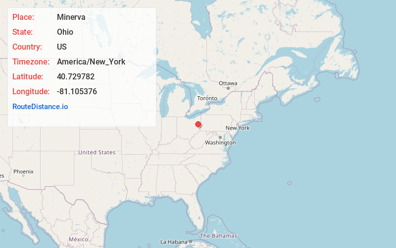
Full AddressMinerva, OH 44657
-
Coordinates40.7297816, -81.1053764
-
LocationMinerva , Ohio , US
-
TimezoneAmerica/New_York
-
Current Local Time8:39:23 PM America/New_YorkSunday, June 15, 2025
-
Website
-
Page Views1
About Minerva
Minerva is a village primarily in Stark and Carroll counties in the U.S. state of Ohio, with a small district in Columbiana County. The population was 3,684 at the 2020 census. It is part of the Canton–Massillon metropolitan area.


Nearby Places
Found 10 places within 50 miles

Carrollton
10.9 mi
17.5 km
Carrollton, OH 44615
Get directions

Louisville
11.0 mi
17.7 km
Louisville, OH 44641
Get directions

Alliance
12.8 mi
20.6 km
Alliance, OH 44601
Get directions

Sebring
14.1 mi
22.7 km
Sebring, OH
Get directions

Canton
15.0 mi
24.1 km
Canton, OH
Get directions

Salem
17.6 mi
28.3 km
Salem, OH 44460
Get directions

Reedurban
17.9 mi
28.8 km
Reedurban, OH
Get directions

North Canton
18.5 mi
29.8 km
North Canton, OH
Get directions
Perry Heights
19.8 mi
31.9 km
Perry Heights, OH
Get directions

Hartville
20.0 mi
32.2 km
Hartville, OH 44632
Get directions
Location Links
Local Weather
Weather Information
Coming soon!
Location Map
Static map view of Minerva, Ohio
Browse Places by Distance
Places within specific distances from Minerva
Short Distances
Long Distances
Click any distance to see all places within that range from Minerva. Distances shown in miles (1 mile ≈ 1.61 kilometers).