Distance to Alliance, Ohio

Calculating Your Route
Just a moment while we process your request...
Location Information
-
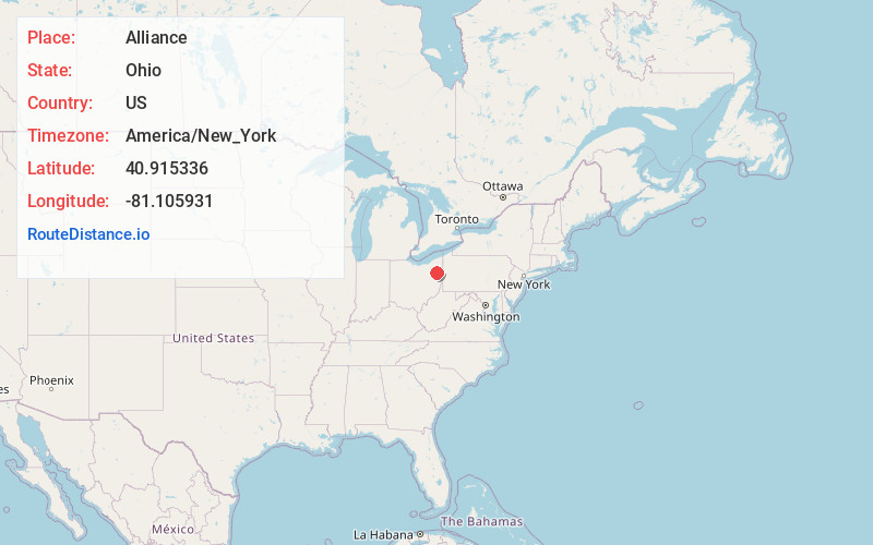
Full AddressAlliance, OH 44601
-
Coordinates40.9153362, -81.1059309
-
LocationAlliance , Ohio , US
-
TimezoneAmerica/New_York
-
Current Local Time5:43:12 PM America/New_YorkTuesday, June 17, 2025
-
Website
-
Page Views0
About Alliance
Alliance is a city in Stark County, Ohio, United States. The population was 21,672 at the 2020 census. It was established in 1854 by the merger of three smaller communities and was a manufacturing and railroad hub in the 20th century.


Nearby Places
Found 10 places within 50 miles

Canton
16.3 mi
26.2 km
Canton, OH
Get directions

Green
19.8 mi
31.9 km
Green, OH
Get directions

Kent
21.1 mi
34.0 km
Kent, OH
Get directions

Austintown
22.0 mi
35.4 km
Austintown, OH
Get directions

Massillon
23.2 mi
37.3 km
Massillon, OH
Get directions

Stow
24.3 mi
39.1 km
Stow, OH
Get directions

Akron
24.4 mi
39.3 km
Akron, OH
Get directions

Cuyahoga Falls
24.9 mi
40.1 km
Cuyahoga Falls, OH
Get directions

Warren
26.8 mi
43.1 km
Warren, OH
Get directions

Barberton
26.9 mi
43.3 km
Barberton, OH 44203
Get directions
Location Links
Local Weather
Weather Information
Coming soon!
Location Map
Static map view of Alliance, Ohio
Browse Places by Distance
Places within specific distances from Alliance
Short Distances
Long Distances
Click any distance to see all places within that range from Alliance. Distances shown in miles (1 mile ≈ 1.61 kilometers).