Distance to Kent, Ohio

Calculating Your Route
Just a moment while we process your request...
Location Information
-
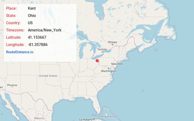
Full AddressKent, OH
-
Coordinates41.1536674, -81.3578859
-
LocationKent , Ohio , US
-
TimezoneAmerica/New_York
-
Current Local Time12:38:59 PM America/New_YorkThursday, June 19, 2025
-
Website
-
Page Views0
About Kent
Kent is a city in the U.S. state of Ohio and the largest city in Portage County. It is located along the Cuyahoga River in Northeast Ohio on the western edge of the county. The population was 28,215 at the 2020 census.


Nearby Places
Found 10 places within 50 miles

Stow
4.3 mi
6.9 km
Stow, OH
Get directions

Cuyahoga Falls
6.7 mi
10.8 km
Cuyahoga Falls, OH
Get directions

Akron
9.8 mi
15.8 km
Akron, OH
Get directions

North Royalton
22.0 mi
35.4 km
North Royalton, OH 44133
Get directions

Garfield Heights
22.3 mi
35.9 km
Garfield Heights, OH
Get directions

Shaker Heights
24.0 mi
38.6 km
Shaker Heights, OH
Get directions

Canton
24.6 mi
39.6 km
Canton, OH
Get directions

Parma
25.7 mi
41.4 km
Parma, OH
Get directions

Brunswick
25.8 mi
41.5 km
Brunswick, OH
Get directions

Massillon
26.1 mi
42.0 km
Massillon, OH
Get directions
Location Links
Local Weather
Weather Information
Coming soon!
Location Map
Static map view of Kent, Ohio
Browse Places by Distance
Places within specific distances from Kent
Short Distances
Long Distances
Click any distance to see all places within that range from Kent. Distances shown in miles (1 mile ≈ 1.61 kilometers).