Distance to Stow, Ohio

Calculating Your Route
Just a moment while we process your request...
Location Information
-
Full AddressStow, OH
-
Coordinates41.1595005, -81.4403898
-
LocationStow , Ohio , US
-
TimezoneAmerica/New_York
-
Current Local Time8:02:11 AM America/New_YorkWednesday, June 18, 2025
-
Website
-
Page Views0
About Stow
Stow is a city in Summit County, Ohio, United States. The population was 34,483 at the 2020 census. It is a suburban community within the Akron metropolitan area.


Nearby Places
Found 10 places within 50 miles

Cuyahoga Falls
2.9 mi
4.7 km
Cuyahoga Falls, OH
Get directions

Akron
6.8 mi
10.9 km
Akron, OH
Get directions

Brunswick
21.6 mi
34.8 km
Brunswick, OH
Get directions

Parma
22.4 mi
36.0 km
Parma, OH
Get directions

Strongsville
23.2 mi
37.3 km
Strongsville, OH
Get directions

Canton
25.2 mi
40.6 km
Canton, OH
Get directions

Cleveland Heights
25.6 mi
41.2 km
Cleveland Heights, OH
Get directions

Cleveland
26.9 mi
43.3 km
Cleveland, OH
Get directions

Lakewood
29.0 mi
46.7 km
Lakewood, OH
Get directions

Euclid
30.3 mi
48.8 km
Euclid, OH
Get directions
Location Links
Local Weather
Weather Information
Coming soon!
Location Map
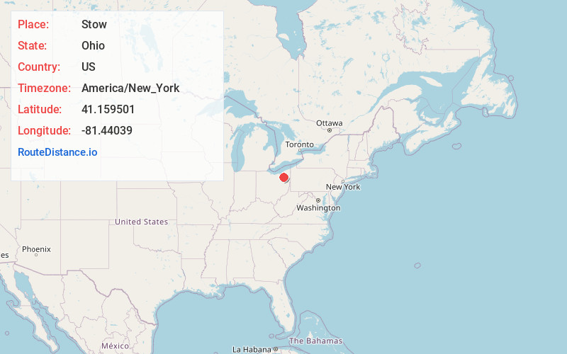
Static map view of Stow, Ohio
Browse Places by Distance
Places within specific distances from Stow
Short Distances
Long Distances
Click any distance to see all places within that range from Stow. Distances shown in miles (1 mile ≈ 1.61 kilometers).