Distance to and from Lakewood, Ohio
Lakewood, OH
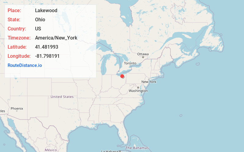
Lakewood
Ohio
US
America/New_York
Location Information
-
Full AddressLakewood, OH
-
Coordinates41.4819932, -81.7981908
-
LocationLakewood , Ohio , US
-
TimezoneAmerica/New_York
-
Current Local Time9:39:35 PM America/New_YorkSaturday, May 3, 2025
-
Website
-
Page Views0
Directions to Nearest Cities
About Lakewood
Lakewood is a city in Cuyahoga County, Ohio, United States, on the southern shore of Lake Erie. Established in 1889, it is one of Cleveland's historical streetcar suburbs and part of the Cleveland metropolitan area.


Nearby Places
Found 6 places within 50 miles

Cleveland
5.5 mi
8.9 km
Cleveland, OH
Get directions

Parma
6.6 mi
10.6 km
Parma, OH
Get directions

Elyria
17.9 mi
28.8 km
Elyria, OH 44035
Get directions

Lorain
20.0 mi
32.2 km
Lorain, OH
Get directions

Cuyahoga Falls
29.0 mi
46.7 km
Cuyahoga Falls, OH
Get directions

Akron
31.3 mi
50.4 km
Akron, OH
Get directions
Location Links
Local Weather
Weather Information
Coming soon!
Location Map
Static map view of Lakewood, Ohio
Browse Places by Distance
Places within specific distances from Lakewood
Short Distances
Long Distances
Click any distance to see all places within that range from Lakewood. Distances shown in miles (1 mile ≈ 1.61 kilometers).