Distance to Garfield Heights, Ohio

Calculating Your Route
Just a moment while we process your request...
Location Information
-
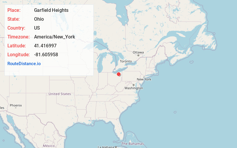
Full AddressGarfield Heights, OH
-
Coordinates41.4169974, -81.6059581
-
LocationGarfield Heights , Ohio , US
-
TimezoneAmerica/New_York
-
Current Local Time7:33:38 PM America/New_YorkSunday, June 1, 2025
-
Website
-
Page Views0
About Garfield Heights
Garfield Heights is a city in Cuyahoga County, Ohio, United States. The population was 29,781 at the time of the 2020 census. A suburb of Cleveland, it is a part of the Cleveland metropolitan area.
In 2025, the City of Garfield Heights was named as a Top 25 Best Suburbs of Cleveland, OH.


Nearby Places
Found 10 places within 50 miles

Shaker Heights
5.3 mi
8.5 km
Shaker Heights, OH
Get directions

Parma
6.1 mi
9.8 km
Parma, OH
Get directions

Cleveland
7.3 mi
11.7 km
Cleveland, OH
Get directions

Cleveland Heights
7.6 mi
12.2 km
Cleveland Heights, OH
Get directions

North Royalton
9.4 mi
15.1 km
North Royalton, OH 44133
Get directions

Lakewood
10.9 mi
17.5 km
Lakewood, OH
Get directions

Euclid
12.8 mi
20.6 km
Euclid, OH
Get directions

Strongsville
13.9 mi
22.4 km
Strongsville, OH
Get directions

Westlake
16.4 mi
26.4 km
Westlake, OH 44145
Get directions

North Olmsted
16.5 mi
26.6 km
North Olmsted, OH
Get directions
Location Links
Local Weather
Weather Information
Coming soon!
Location Map
Static map view of Garfield Heights, Ohio
Browse Places by Distance
Places within specific distances from Garfield Heights
Short Distances
Long Distances
Click any distance to see all places within that range from Garfield Heights. Distances shown in miles (1 mile ≈ 1.61 kilometers).