Distance to Westlake, Ohio

Calculating Your Route
Just a moment while we process your request...
Location Information
-
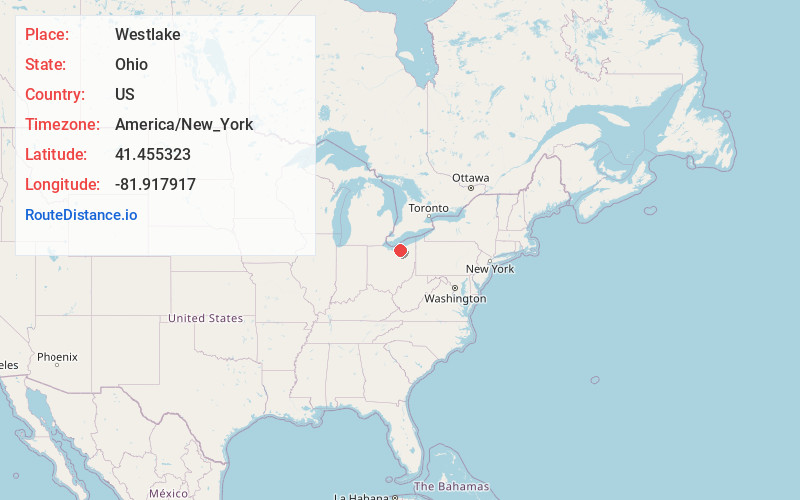
Full AddressWestlake, OH 44145
-
Coordinates41.4553232, -81.9179173
-
LocationWestlake , Ohio , US
-
TimezoneAmerica/New_York
-
Current Local Time12:34:28 PM America/New_YorkTuesday, June 3, 2025
-
Website
-
Page Views0
About Westlake
Westlake is a city in Cuyahoga County, Ohio, United States. It is a suburb located 12 miles west of downtown Cleveland. The population was 34,228 at the 2020 census.


Nearby Places
Found 10 places within 50 miles

North Olmsted
2.8 mi
4.5 km
North Olmsted, OH
Get directions

Lakewood
6.5 mi
10.5 km
Lakewood, OH
Get directions

North Ridgeville
6.9 mi
11.1 km
North Ridgeville, OH
Get directions

Strongsville
10.6 mi
17.1 km
Strongsville, OH
Get directions

Parma
10.7 mi
17.2 km
Parma, OH
Get directions

Elyria
11.5 mi
18.5 km
Elyria, OH 44035
Get directions

Cleveland
12.0 mi
19.3 km
Cleveland, OH
Get directions

Lorain
13.7 mi
22.0 km
Lorain, OH
Get directions

North Royalton
14.0 mi
22.5 km
North Royalton, OH 44133
Get directions

Brunswick
15.5 mi
24.9 km
Brunswick, OH
Get directions
Location Links
Local Weather
Weather Information
Coming soon!
Location Map
Static map view of Westlake, Ohio
Browse Places by Distance
Places within specific distances from Westlake
Short Distances
Long Distances
Click any distance to see all places within that range from Westlake. Distances shown in miles (1 mile ≈ 1.61 kilometers).