Distance to Sebring, Ohio

Calculating Your Route
Just a moment while we process your request...
Location Information
-
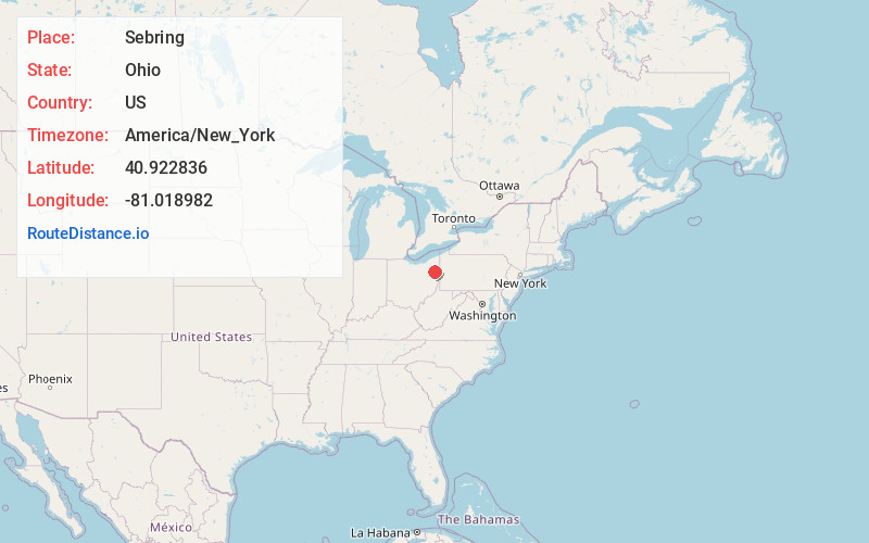
Full AddressSebring, OH
-
Coordinates40.9228363, -81.0189816
-
LocationSebring , Ohio , US
-
TimezoneAmerica/New_York
-
Current Local Time10:02:20 AM America/New_YorkMonday, June 2, 2025
-
Website
-
Page Views0
About Sebring
Sebring is a village in southwestern Mahoning County, Ohio, United States. The population was 4,191 as of the 2020 census. It is part of the Youngstown–Warren metropolitan area.


Nearby Places
Found 10 places within 50 miles

Alliance
4.6 mi
7.4 km
Alliance, OH 44601
Get directions

Salem
8.6 mi
13.8 km
Salem, OH 44460
Get directions

Louisville
13.9 mi
22.4 km
Louisville, OH 44641
Get directions

Canfield
15.2 mi
24.5 km
Canfield, OH 44406
Get directions

Columbiana
17.1 mi
27.5 km
Columbiana, OH 44408
Get directions

Austintown
18.1 mi
29.1 km
Austintown, OH
Get directions

Newton Falls
18.5 mi
29.8 km
Newton Falls, OH 44444
Get directions

Ravenna
20.0 mi
32.2 km
Ravenna, OH 44266
Get directions

North Canton
20.3 mi
32.7 km
North Canton, OH
Get directions

Canton
20.6 mi
33.2 km
Canton, OH
Get directions
Location Links
Local Weather
Weather Information
Coming soon!
Location Map
Static map view of Sebring, Ohio
Browse Places by Distance
Places within specific distances from Sebring
Short Distances
Long Distances
Click any distance to see all places within that range from Sebring. Distances shown in miles (1 mile ≈ 1.61 kilometers).