Distance to Carrollton, Ohio

Calculating Your Route
Just a moment while we process your request...
Location Information
-
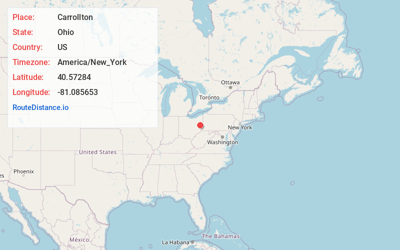
Full AddressCarrollton, OH 44615
-
Coordinates40.5728403, -81.0856532
-
LocationCarrollton , Ohio , US
-
TimezoneAmerica/New_York
-
Current Local Time12:17:10 PM America/New_YorkThursday, June 19, 2025
-
Website
-
Page Views0
About Carrollton
Carrollton is a village in Carroll County, Ohio, United States, and its county seat. The population was 3,087 at the 2020 census. It is part of the Canton–Massillon metropolitan area.


Nearby Places
Found 10 places within 50 miles

Uhrichsville
18.5 mi
29.8 km
Uhrichsville, OH 44683
Get directions

New Philadelphia
19.8 mi
31.9 km
New Philadelphia, OH 44663
Get directions

Louisville
20.4 mi
32.8 km
Louisville, OH 44641
Get directions

Dover
20.7 mi
33.3 km
Dover, OH
Get directions

Canton
21.8 mi
35.1 km
Canton, OH
Get directions

Alliance
23.7 mi
38.1 km
Alliance, OH 44601
Get directions

Reedurban
23.9 mi
38.5 km
Reedurban, OH
Get directions
Wintersville
24.3 mi
39.1 km
Wintersville, OH
Get directions

Sebring
24.4 mi
39.3 km
Sebring, OH
Get directions
Perry Heights
25.5 mi
41.0 km
Perry Heights, OH
Get directions
Location Links
Local Weather
Weather Information
Coming soon!
Location Map
Static map view of Carrollton, Ohio
Browse Places by Distance
Places within specific distances from Carrollton
Short Distances
Long Distances
Click any distance to see all places within that range from Carrollton. Distances shown in miles (1 mile ≈ 1.61 kilometers).