Distance to Austin, Arkansas

Calculating Your Route
Just a moment while we process your request...
Location Information
-
Full AddressAustin, AR
-
Coordinates34.9989648, -91.9840288
-
LocationAustin , Arkansas , US
-
TimezoneAmerica/Chicago
-
Current Local Time4:25:00 AM America/ChicagoWednesday, June 18, 2025
-
Website
-
Page Views0
About Austin
Austin is a city in Lonoke County, Arkansas, United States. The population was 2,038 as of the 2010 census and an estimated 3,693 as of 2018. It is part of the Little Rock–North Little Rock–Conway Metropolitan Statistical Area.


Nearby Places
Found 10 places within 50 miles

Cabot
2.5 mi
4.0 km
Cabot, AR
Get directions

Ward
2.9 mi
4.7 km
Ward, AR
Get directions

Beebe
7.7 mi
12.4 km
Beebe, AR 72012
Get directions

Jacksonville
12.2 mi
19.6 km
Jacksonville, AR
Get directions

Vilonia
13.5 mi
21.7 km
Vilonia, AR 72173
Get directions

Lonoke
15.6 mi
25.1 km
Lonoke, AR 72086
Get directions

Sherwood
16.4 mi
26.4 km
Sherwood, AR
Get directions

Searcy
22.0 mi
35.4 km
Searcy, AR
Get directions

Little Rock
24.6 mi
39.6 km
Little Rock, AR
Get directions

Maumelle
25.1 mi
40.4 km
Maumelle, AR
Get directions
Location Links
Local Weather
Weather Information
Coming soon!
Location Map
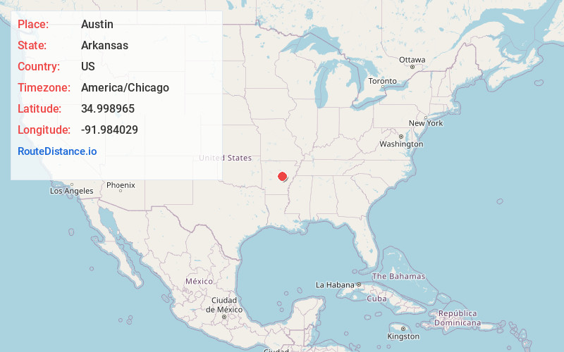
Static map view of Austin, Arkansas
Browse Places by Distance
Places within specific distances from Austin
Short Distances
Long Distances
Click any distance to see all places within that range from Austin. Distances shown in miles (1 mile ≈ 1.61 kilometers).