Distance to Austin, Oregon

Calculating Your Route
Just a moment while we process your request...
Location Information
-
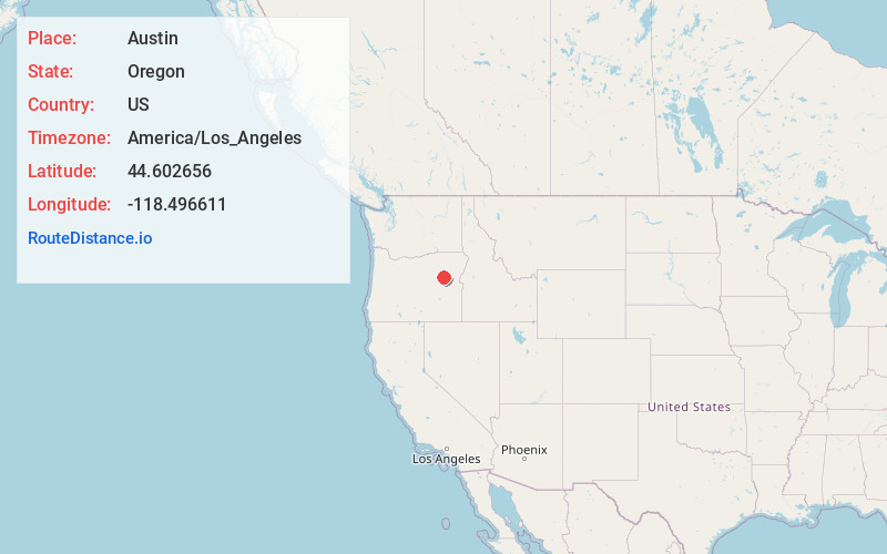
Full AddressAustin, OR 97817
-
Coordinates44.6026558, -118.4966112
-
LocationAustin , Oregon , US
-
TimezoneAmerica/Los_Angeles
-
Current Local Time12:25:43 AM America/Los_AngelesWednesday, June 18, 2025
-
Page Views0
About Austin
Austin is an unincorporated community, considered a ghost town, in Grant County, Oregon, United States. It is located north of Oregon Route 7, near the Middle Fork John Day River in the Malheur National Forest.
Nearby Places
Found 10 places within 50 miles

Greenhorn
7.3 mi
11.7 km
Greenhorn, OR
Get directions

Prairie City
14.3 mi
23.0 km
Prairie City, OR 97869
Get directions

Granite
14.8 mi
23.8 km
Granite, OR 97877
Get directions
Galena
17.4 mi
28.0 km
Galena, OR 97817
Get directions

Sumpter
17.5 mi
28.2 km
Sumpter, OR 97877
Get directions

Unity
18.8 mi
30.3 km
Unity, OR 97884
Get directions

McEwen
20.5 mi
33.0 km
McEwen, OR 97814
Get directions

John Day
25.9 mi
41.7 km
John Day, OR 97845
Get directions

Canyon City
26.8 mi
43.1 km
Canyon City, OR 97820
Get directions

Long Creek
30.8 mi
49.6 km
Long Creek, OR 97856
Get directions
Location Links
Local Weather
Weather Information
Coming soon!
Location Map
Static map view of Austin, Oregon
Browse Places by Distance
Places within specific distances from Austin
Short Distances
Long Distances
Click any distance to see all places within that range from Austin. Distances shown in miles (1 mile ≈ 1.61 kilometers).