Distance to Unity, Oregon

Calculating Your Route
Just a moment while we process your request...
Location Information
-
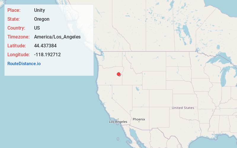
Full AddressUnity, OR 97884
-
Coordinates44.4373835, -118.1927122
-
LocationUnity , Oregon , US
-
TimezoneAmerica/Los_Angeles
-
Current Local Time4:33:29 AM America/Los_AngelesSunday, June 29, 2025
-
Page Views0
About Unity
Unity is a city in Baker County, Oregon, United States, located in the Burnt River Valley. The population was 40 at the 2020 census.


Nearby Places
Found 10 places within 50 miles

Sumpter
21.3 mi
34.3 km
Sumpter, OR 97877
Get directions

Prairie City
25.6 mi
41.2 km
Prairie City, OR 97869
Get directions

Baker City
29.2 mi
47.0 km
Baker City, OR 97814
Get directions

Pleasant Valley
32.2 mi
51.8 km
Pleasant Valley, OR 97814
Get directions

Haines
35.1 mi
56.5 km
Haines, OR 97833
Get directions

Canyon City
37.5 mi
60.4 km
Canyon City, OR 97820
Get directions

John Day
37.5 mi
60.4 km
John Day, OR 97845
Get directions

North Powder
43.0 mi
69.2 km
North Powder, OR 97867
Get directions

Seneca
43.8 mi
70.5 km
Seneca, OR 97873
Get directions

Mt Vernon
45.5 mi
73.2 km
Mt Vernon, OR 97865
Get directions
Location Links
Local Weather
Weather Information
Coming soon!
Location Map
Static map view of Unity, Oregon
Browse Places by Distance
Places within specific distances from Unity
Short Distances
Long Distances
Click any distance to see all places within that range from Unity. Distances shown in miles (1 mile ≈ 1.61 kilometers).