Distance to and from Avawam, Kentucky
Avawam, KY 41701
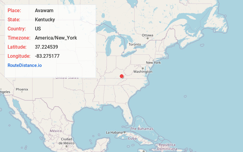
Avawam
Kentucky
US
America/New_York
Location Information
-
Full AddressAvawam, KY 41701
-
Coordinates37.2245386, -83.275177
-
LocationAvawam , Kentucky , US
-
TimezoneAmerica/New_York
-
Current Local Time9:10:27 PM America/New_YorkSunday, May 4, 2025
-
Page Views0
Directions to Nearest Cities
About Avawam
Big Creek is a stream in Perry County, Kentucky in the United States.
It a tributary of the North Fork Kentucky River that joins it 1 mile upstream of Typo and 5 miles downstream of Hazard, at an altitude of 810 feet.
It is nearly 10 miles long, and is paralleled by Kentucky Route 80 for some of its length.
Nearby Places
Found 10 places within 50 miles

Frew
3.3 mi
5.3 km
Frew, KY 41776
Get directions

Combs
4.5 mi
7.2 km
Combs, KY
Get directions

Hazard
4.8 mi
7.7 km
Hazard, KY
Get directions
Diablock
5.7 mi
9.2 km
Diablock, KY 41701
Get directions

Hyden
7.0 mi
11.3 km
Hyden, KY 41749
Get directions

Jeff
7.8 mi
12.6 km
Jeff, KY
Get directions
Cutshin
9.4 mi
15.1 km
Cutshin, KY 41777
Get directions
Dice
9.9 mi
15.9 km
Dice, KY 41701
Get directions
Vicco
11.8 mi
19.0 km
Vicco, KY
Get directions
Sassafras
12.1 mi
19.5 km
Sassafras, KY 41759
Get directions
Frew
3.3 mi
5.3 km
Frew, KY 41776
Combs
4.5 mi
7.2 km
Combs, KY
Hazard
4.8 mi
7.7 km
Hazard, KY
Diablock
5.7 mi
9.2 km
Diablock, KY 41701
Hyden
7.0 mi
11.3 km
Hyden, KY 41749
Jeff
7.8 mi
12.6 km
Jeff, KY
Cutshin
9.4 mi
15.1 km
Cutshin, KY 41777
Dice
9.9 mi
15.9 km
Dice, KY 41701
Vicco
11.8 mi
19.0 km
Vicco, KY
Sassafras
12.1 mi
19.5 km
Sassafras, KY 41759
Location Links
Local Weather
Weather Information
Coming soon!
Location Map
Static map view of Avawam, Kentucky
Browse Places by Distance
Places within specific distances from Avawam
Short Distances
Long Distances
Click any distance to see all places within that range from Avawam. Distances shown in miles (1 mile ≈ 1.61 kilometers).