Distance to Jeff, Kentucky

Calculating Your Route
Just a moment while we process your request...
Location Information
-
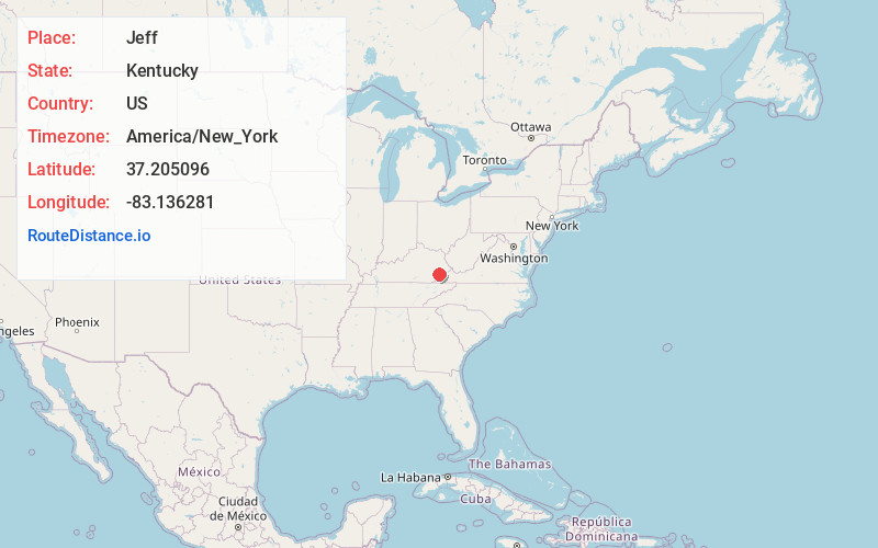
Full AddressJeff, KY
-
Coordinates37.2050956, -83.136281
-
LocationJeff , Kentucky , US
-
TimezoneAmerica/New_York
-
Current Local Time9:37:20 AM America/New_YorkSunday, May 25, 2025
-
Page Views0
About Jeff
Jeff is a census-designated place and coal town in Perry County, Kentucky, United States. Its population was 323 as of the 2010 census.
A post office was established in the community in 1902 and named for the early settler Jefferson Combs.

Nearby Places
Found 10 places within 50 miles

Diablock
2.5 mi
4.0 km
Diablock, KY 41701
Get directions
Vicco
4.2 mi
6.8 km
Vicco, KY
Get directions

Hazard
4.4 mi
7.1 km
Hazard, KY
Get directions

Hindman
12.5 mi
20.1 km
Hindman, KY 41822
Get directions

Hyden
13.4 mi
21.6 km
Hyden, KY 41749
Get directions
Pippa Passes
17.0 mi
27.4 km
Pippa Passes, KY 41844
Get directions

Whitesburg
18.1 mi
29.1 km
Whitesburg, KY 41858
Get directions
Benham
19.6 mi
31.5 km
Benham, KY
Get directions

Lynch
20.3 mi
32.7 km
Lynch, KY 40855
Get directions
Fleming-Neon
23.7 mi
38.1 km
Fleming-Neon, KY
Get directions
Location Links
Local Weather
Weather Information
Coming soon!
Location Map
Static map view of Jeff, Kentucky
Browse Places by Distance
Places within specific distances from Jeff
Short Distances
Long Distances
Click any distance to see all places within that range from Jeff. Distances shown in miles (1 mile ≈ 1.61 kilometers).