Distance to Avera, Georgia

Calculating Your Route
Just a moment while we process your request...
Location Information
-
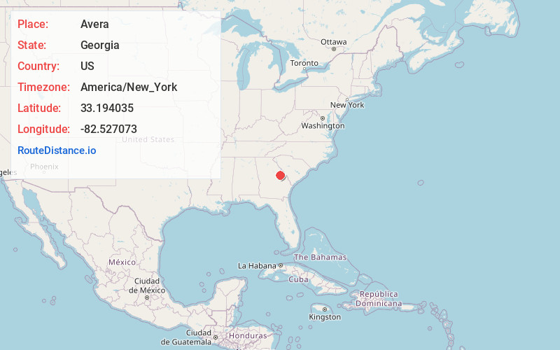
Full AddressAvera, GA 30803
-
Coordinates33.1940354, -82.5270728
-
LocationAvera , Georgia , US
-
TimezoneAmerica/New_York
-
Current Local Time10:17:06 AM America/New_YorkSaturday, June 7, 2025
-
Page Views0
About Avera
Avera is a city in Jefferson County, Georgia, United States. As of the 2020 census, the city had a population of 223. The city was incorporated in 1900.
Nearby Places
Found 10 places within 50 miles

Stapleton
3.7 mi
6.0 km
Stapleton, GA 30823
Get directions

Gibson
4.8 mi
7.7 km
Gibson, GA 30810
Get directions

Wrens
7.9 mi
12.7 km
Wrens, GA 30833
Get directions

Louisville
14.9 mi
24.0 km
Louisville, GA 30434
Get directions

Davisboro
15.6 mi
25.1 km
Davisboro, GA 31018
Get directions

Warrenton
16.7 mi
26.9 km
Warrenton, GA 30828
Get directions

Dearing
17.2 mi
27.7 km
Dearing, GA 30808
Get directions

Keysville
17.3 mi
27.8 km
Keysville, GA 30816
Get directions

Thomson
19.2 mi
30.9 km
Thomson, GA 30824
Get directions
Camak
19.2 mi
30.9 km
Camak, GA 30828
Get directions
Location Links
Local Weather
Weather Information
Coming soon!
Location Map
Static map view of Avera, Georgia
Browse Places by Distance
Places within specific distances from Avera
Short Distances
Long Distances
Click any distance to see all places within that range from Avera. Distances shown in miles (1 mile ≈ 1.61 kilometers).