Distance to Wrens, Georgia

Calculating Your Route
Just a moment while we process your request...
Location Information
-
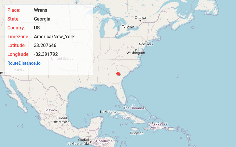
Full AddressWrens, GA 30833
-
Coordinates33.2076456, -82.391792
-
LocationWrens , Georgia , US
-
TimezoneAmerica/New_York
-
Current Local Time10:56:58 PM America/New_YorkMonday, June 16, 2025
-
Page Views0
About Wrens
Wrens is a city in Jefferson County, Georgia, United States. The population was 2,217 at the 2020 census. It is located on U.S. Route 1, thirty miles west of Augusta.


Nearby Places
Found 10 places within 50 miles

Louisville
14.3 mi
23.0 km
Louisville, GA 30434
Get directions

Harlem
15.0 mi
24.1 km
Harlem, GA 30814
Get directions

Hephzibah
18.6 mi
29.9 km
Hephzibah, GA 30815
Get directions

Thomson
19.3 mi
31.1 km
Thomson, GA 30824
Get directions

Davisboro
20.2 mi
32.5 km
Davisboro, GA 31018
Get directions

Grovetown
20.2 mi
32.5 km
Grovetown, GA 30813
Get directions

Waynesboro
23.2 mi
37.3 km
Waynesboro, GA 30830
Get directions

Evans
27.1 mi
43.6 km
Evans, GA
Get directions

Augusta
27.7 mi
44.6 km
Augusta, GA
Get directions

Martinez
28.1 mi
45.2 km
Martinez, GA
Get directions
Location Links
Local Weather
Weather Information
Coming soon!
Location Map
Static map view of Wrens, Georgia
Browse Places by Distance
Places within specific distances from Wrens
Short Distances
Long Distances
Click any distance to see all places within that range from Wrens. Distances shown in miles (1 mile ≈ 1.61 kilometers).