Distance to Avery, Ohio

Calculating Your Route
Just a moment while we process your request...
Location Information
-
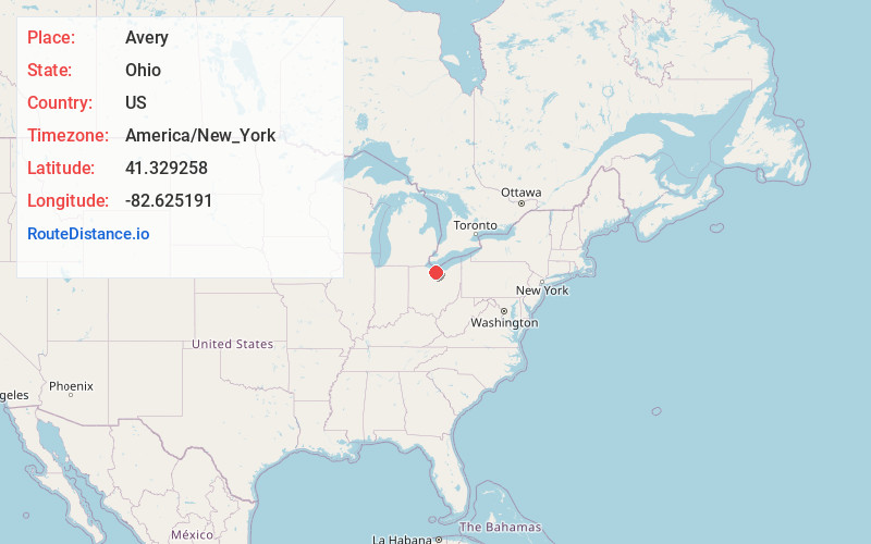
Full AddressAvery, OH 44846
-
Coordinates41.329258, -82.625191
-
LocationAvery , Ohio , US
-
TimezoneAmerica/New_York
-
Current Local Time6:28:02 AM America/New_YorkTuesday, June 3, 2025
-
Page Views0
About Avery
Avery is an unincorporated community in western Milan Township, Erie County, Ohio, United States. It is part of the Sandusky Metropolitan Statistical Area. Avery is located along US Route 250 near that road's interchange with Interstate 80 and Interstate 90, the Ohio Turnpike.
Nearby Places
Found 10 places within 50 miles

Milan
2.4 mi
3.9 km
Milan, OH
Get directions

Kimball
4.2 mi
6.8 km
Kimball, OH 44847
Get directions
Bogart
4.8 mi
7.7 km
Bogart, Perkins Township, OH 44870
Get directions
Shinrock
5.5 mi
8.9 km
Shinrock, OH 44839
Get directions
Bloomingville
5.6 mi
9.0 km
Bloomingville, OH
Get directions

Huron
5.8 mi
9.3 km
Huron, OH 44839
Get directions

Norwalk
6.0 mi
9.7 km
Norwalk, OH
Get directions
Berlinville
6.0 mi
9.7 km
Berlinville, OH 44814
Get directions

Berlin Heights
6.9 mi
11.1 km
Berlin Heights, OH 44814
Get directions
Monroeville
6.9 mi
11.1 km
Monroeville, OH 44847
Get directions
Location Links
Local Weather
Weather Information
Coming soon!
Location Map
Static map view of Avery, Ohio
Browse Places by Distance
Places within specific distances from Avery
Short Distances
Long Distances
Click any distance to see all places within that range from Avery. Distances shown in miles (1 mile ≈ 1.61 kilometers).