Distance to Monroeville, Ohio

Calculating Your Route
Just a moment while we process your request...
Location Information
-
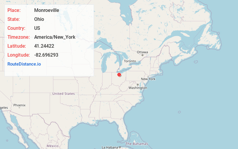
Full AddressMonroeville, OH 44847
-
Coordinates41.2442202, -82.6962926
-
LocationMonroeville , Ohio , US
-
TimezoneAmerica/New_York
-
Current Local Time5:49:03 PM America/New_YorkWednesday, June 18, 2025
-
Website
-
Page Views0
About Monroeville
Monroeville is a village in Huron County, Ohio, United States. The population was 1,300 at the 2020 census.
Nearby Places
Found 10 places within 50 miles

Norwalk
4.2 mi
6.8 km
Norwalk, OH
Get directions

Milan
6.0 mi
9.7 km
Milan, OH
Get directions

Bellevue
7.8 mi
12.6 km
Bellevue, OH 44811
Get directions

Huron
12.7 mi
20.4 km
Huron, OH 44839
Get directions

Willard
13.3 mi
21.4 km
Willard, OH 44890
Get directions

Sandusky
14.7 mi
23.7 km
Sandusky, OH 44870
Get directions

Clyde
15.1 mi
24.3 km
Clyde, OH 43410
Get directions

Plymouth
17.2 mi
27.7 km
Plymouth, OH 44865
Get directions

New London
18.9 mi
30.4 km
New London, OH 44851
Get directions

Shiloh
19.8 mi
31.9 km
Shiloh, OH 44878
Get directions
Location Links
Local Weather
Weather Information
Coming soon!
Location Map
Static map view of Monroeville, Ohio
Browse Places by Distance
Places within specific distances from Monroeville
Short Distances
Long Distances
Click any distance to see all places within that range from Monroeville. Distances shown in miles (1 mile ≈ 1.61 kilometers).