Distance to Clyde, Ohio

Calculating Your Route
Just a moment while we process your request...
Location Information
-
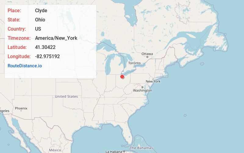
Full AddressClyde, OH 43410
-
Coordinates41.3042201, -82.975192
-
LocationClyde , Ohio , US
-
TimezoneAmerica/New_York
-
Current Local Time2:44:37 PM America/New_YorkSaturday, June 7, 2025
-
Website
-
Page Views0
About Clyde
Clyde is a city in Sandusky County, Ohio, United States, located 8 miles southeast of Fremont. The population was 6,294 at the time of the 2020 census. The National Arbor Day Foundation has designated Clyde as a Tree City USA.

Nearby Places
Found 10 places within 50 miles

Bellevue
7.3 mi
11.7 km
Bellevue, OH 44811
Get directions

Fremont
8.3 mi
13.4 km
Fremont, OH 43420
Get directions

Tiffin
16.8 mi
27.0 km
Tiffin, OH 44883
Get directions

Sandusky
17.2 mi
27.7 km
Sandusky, OH 44870
Get directions

Norwalk
19.1 mi
30.7 km
Norwalk, OH
Get directions

Huron
22.7 mi
36.5 km
Huron, OH 44839
Get directions

Fostoria
25.1 mi
40.4 km
Fostoria, OH 44830
Get directions

Shiloh
30.4 mi
48.9 km
Shiloh, OH 44878
Get directions

Vermilion
32.7 mi
52.6 km
Vermilion, OH
Get directions

Shelby
33.5 mi
53.9 km
Shelby, OH 44875
Get directions
Location Links
Local Weather
Weather Information
Coming soon!
Location Map
Static map view of Clyde, Ohio
Browse Places by Distance
Places within specific distances from Clyde
Short Distances
Long Distances
Click any distance to see all places within that range from Clyde. Distances shown in miles (1 mile ≈ 1.61 kilometers).