Distance to Fostoria, Ohio

Calculating Your Route
Just a moment while we process your request...
Location Information
-
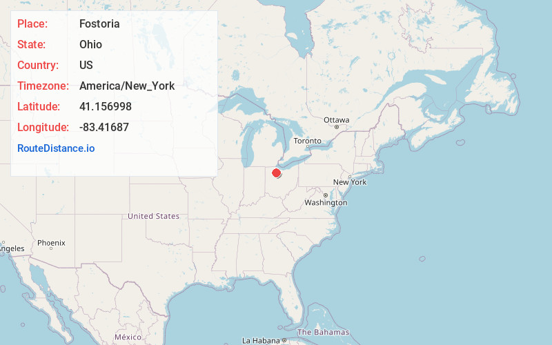
Full AddressFostoria, OH 44830
-
Coordinates41.156998, -83.4168702
-
LocationFostoria , Ohio , US
-
TimezoneAmerica/New_York
-
Current Local Time5:36:29 PM America/New_YorkMonday, June 16, 2025
-
Website
-
Page Views0
About Fostoria
Fostoria is a city located at the convergence of Hancock, Seneca, and Wood counties in the northwestern part of the U.S. state of Ohio. The population was 13,046 at the 2020 Census, slightly down from 13,441 at the 2010 Census. It is approximately 40 miles south of Toledo and 90 miles north of Columbus.


Nearby Places
Found 10 places within 50 miles

Tiffin
12.8 mi
20.6 km
Tiffin, OH 44883
Get directions

Findlay
14.6 mi
23.5 km
Findlay, OH 45840
Get directions

Bowling Green
19.4 mi
31.2 km
Bowling Green, OH
Get directions

Fremont
20.3 mi
32.7 km
Fremont, OH 43420
Get directions

Perrysburg
29.7 mi
47.8 km
Perrysburg, OH 43551
Get directions

Maumee
30.6 mi
49.2 km
Maumee, OH
Get directions

Oregon
33.8 mi
54.4 km
Oregon, OH
Get directions

Toledo
34.8 mi
56.0 km
Toledo, OH
Get directions

Sylvania
41.7 mi
67.1 km
Sylvania, OH
Get directions

Sandusky
42.0 mi
67.6 km
Sandusky, OH 44870
Get directions
Location Links
Local Weather
Weather Information
Coming soon!
Location Map
Static map view of Fostoria, Ohio
Browse Places by Distance
Places within specific distances from Fostoria
Short Distances
Long Distances
Click any distance to see all places within that range from Fostoria. Distances shown in miles (1 mile ≈ 1.61 kilometers).