Distance to Sylvania, Ohio

Calculating Your Route
Just a moment while we process your request...
Location Information
-
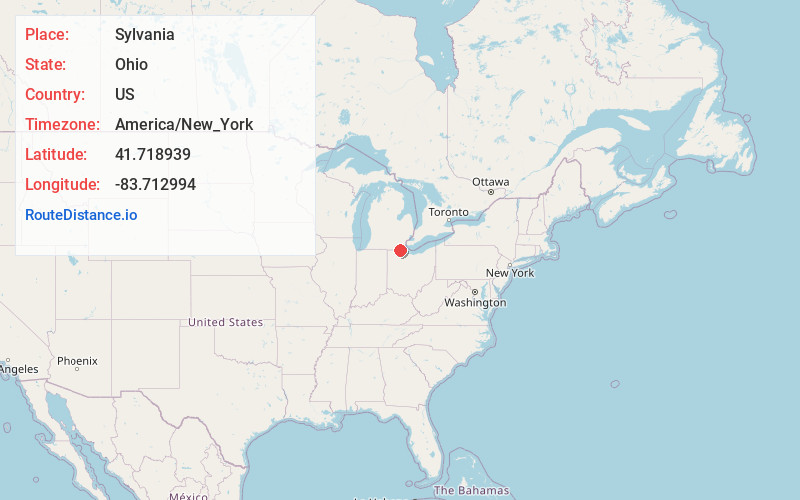
Full AddressSylvania, OH
-
Coordinates41.7189392, -83.7129935
-
LocationSylvania , Ohio , US
-
TimezoneAmerica/New_York
-
Current Local Time4:02:54 AM America/New_YorkWednesday, June 18, 2025
-
Website
-
Page Views0
About Sylvania
Sylvania is a city in Lucas County, Ohio, United States. The population was 19,011 at the 2020 census. Sylvania is a suburb of Toledo, and encompassed by Sylvania Township. Its northern border is the southern border of the state of Michigan.


Nearby Places
Found 10 places within 50 miles

Toledo
10.1 mi
16.3 km
Toledo, OH
Get directions

Perrysburg
12.0 mi
19.3 km
Perrysburg, OH 43551
Get directions

Oregon
12.8 mi
20.6 km
Oregon, OH
Get directions

Adrian
20.8 mi
33.5 km
Adrian, MI 49221
Get directions

Monroe
21.2 mi
34.1 km
Monroe, MI
Get directions

Bowling Green
24.0 mi
38.6 km
Bowling Green, OH
Get directions

Ypsilanti
36.4 mi
58.6 km
Ypsilanti, MI
Get directions

Romulus
38.4 mi
61.8 km
Romulus, MI
Get directions

Ann Arbor
38.9 mi
62.6 km
Ann Arbor, MI
Get directions

Taylor
42.7 mi
68.7 km
Taylor, MI 48180
Get directions
Location Links
Local Weather
Weather Information
Coming soon!
Location Map
Static map view of Sylvania, Ohio
Browse Places by Distance
Places within specific distances from Sylvania
Short Distances
Long Distances
Click any distance to see all places within that range from Sylvania. Distances shown in miles (1 mile ≈ 1.61 kilometers).