Distance to Taylor, Michigan

Calculating Your Route
Just a moment while we process your request...
Location Information
-
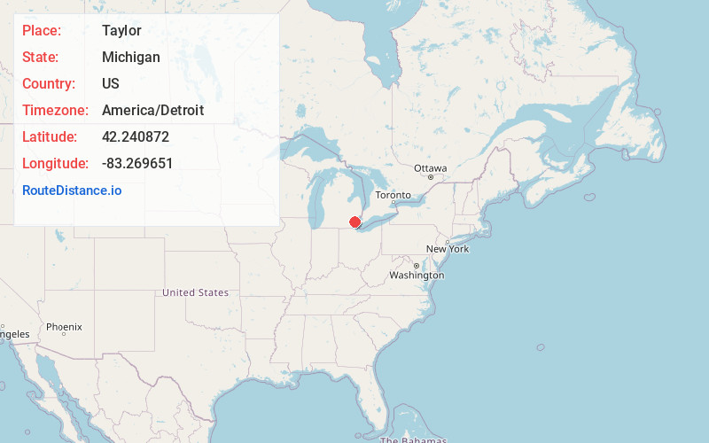
Full AddressTaylor, MI 48180
-
Coordinates42.240872, -83.2696509
-
LocationTaylor , Michigan , US
-
TimezoneAmerica/Detroit
-
Current Local Time3:45:09 PM America/DetroitWednesday, June 18, 2025
-
Website
-
Page Views0
About Taylor
Taylor is a city in Wayne County in the U.S. state of Michigan. Its population was 63,409 at the 2020 census. Taylor is the fifth most-populated city in Wayne County and the 17th most-populated city in Michigan.


Nearby Places
Found 10 places within 50 miles

Dearborn Heights
6.6 mi
10.6 km
Dearborn Heights, MI
Get directions

Dearborn
7.4 mi
11.9 km
Dearborn, MI
Get directions

Westland
8.8 mi
14.2 km
Westland, MI
Get directions

Livonia
9.8 mi
15.8 km
Livonia, MI
Get directions

Detroit
13.1 mi
21.1 km
Detroit, MI
Get directions

Southfield
16.2 mi
26.1 km
Southfield, MI
Get directions

Novi
19.6 mi
31.5 km
Novi, MI
Get directions

Warren
23.0 mi
37.0 km
Warren, MI
Get directions

Ann Arbor
24.4 mi
39.3 km
Ann Arbor, MI
Get directions

South Lyon
24.7 mi
39.8 km
South Lyon, MI 48178
Get directions
Location Links
Local Weather
Weather Information
Coming soon!
Location Map
Static map view of Taylor, Michigan
Browse Places by Distance
Places within specific distances from Taylor
Short Distances
Long Distances
Click any distance to see all places within that range from Taylor. Distances shown in miles (1 mile ≈ 1.61 kilometers).