Distance to Southfield, Michigan

Calculating Your Route
Just a moment while we process your request...
Location Information
-
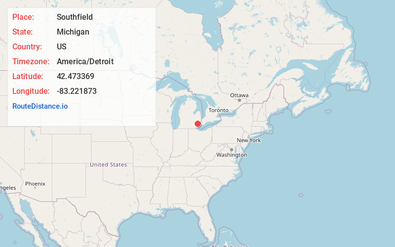
Full AddressSouthfield, MI
-
Coordinates42.4733688, -83.2218731
-
LocationSouthfield , Michigan , US
-
TimezoneAmerica/Detroit
-
Current Local Time2:08:13 AM America/DetroitThursday, June 19, 2025
-
Website
-
Page Views1
About Southfield
Southfield is a city in Oakland County in the U.S. state of Michigan. An inner-ring suburb of Detroit, Southfield borders Detroit to the north, roughly 15 miles northwest of downtown Detroit. As of the 2020 census, the city had a population of 76,618.


Nearby Places
Found 10 places within 50 miles

Livonia
9.9 mi
15.9 km
Livonia, MI
Get directions

Troy
9.9 mi
15.9 km
Troy, MI
Get directions

Dearborn
10.7 mi
17.2 km
Dearborn, MI
Get directions

Warren
10.9 mi
17.5 km
Warren, MI
Get directions

Sterling Heights
12.2 mi
19.6 km
Sterling Heights, MI
Get directions

Detroit
13.5 mi
21.7 km
Detroit, MI
Get directions

Westland
13.7 mi
22.0 km
Westland, MI
Get directions

South Lyon
21.9 mi
35.2 km
South Lyon, MI 48178
Get directions

Ann Arbor
29.7 mi
47.8 km
Ann Arbor, MI
Get directions

Flint
44.1 mi
71.0 km
Flint, MI
Get directions
Location Links
Local Weather
Weather Information
Coming soon!
Location Map
Static map view of Southfield, Michigan
Browse Places by Distance
Places within specific distances from Southfield
Short Distances
Long Distances
Click any distance to see all places within that range from Southfield. Distances shown in miles (1 mile ≈ 1.61 kilometers).